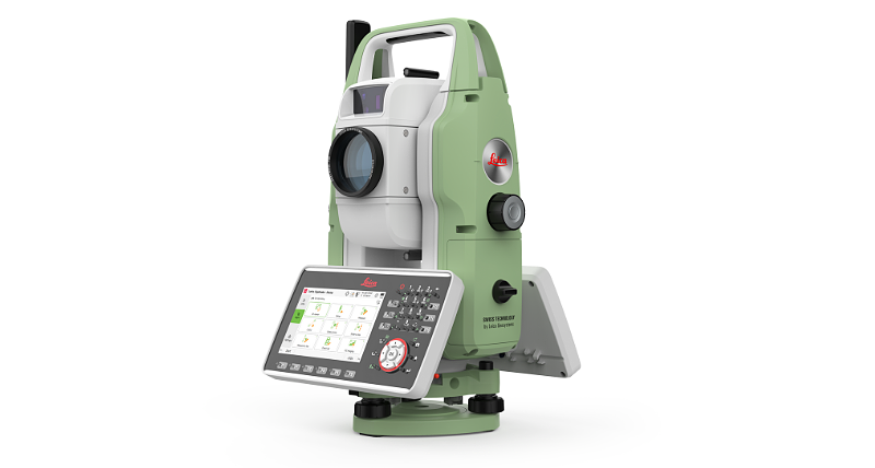
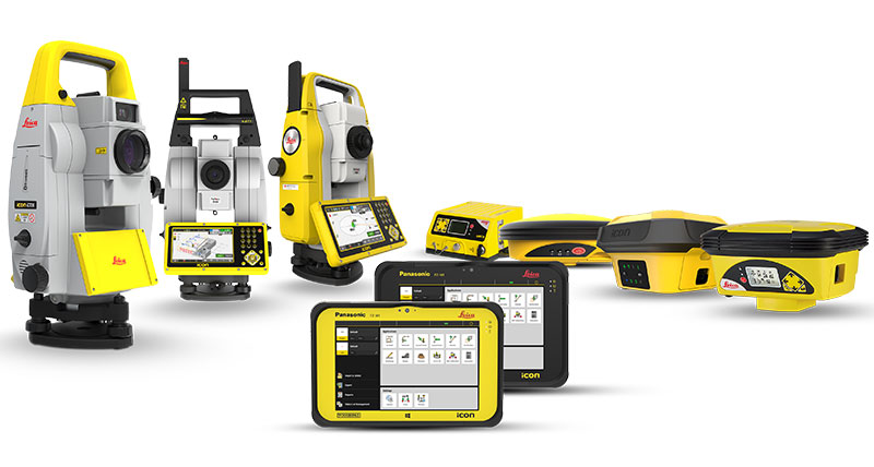
A Quality Assured Inventory

Surveying Instruments & Equipment

Medir Instruments Limited prides itself on its attention to detail and on providing knowledge-driven, cost-saving solutions for the most complex construction projects. Today, we are recognized as a regional leader in our industry for our strength in advanced surveying methods and supply of precise surveying equipment. We apply our expertise across a broad spectrum of surveying-related services. We are here to help you buy the best Surveying Instruments direct from the leading manufacturers.

The Steps To Embed Google Maps To A Website Using HTML Codes

Innovative And Sustainable Projects

From engineering design and manufacturing support to aftermarket services, we partner with our customers to deliver the next generation of products, networks, and systems. Our customer satisfaction audits give us consistently high ratings around technical expertise, execution ownership, on-time delivery, communication, meeting commitments, and client-centricity. As a result, we continue receiving customer and industry recognition for our work.

Hire/Buy Quality Surveying Instruments

For your information, Surveying Instruments are tools used by surveyors to measure and map land, determining precise horizontal/vertical distances, angles, and elevations for construction, property boundaries, and engineering. These instruments enable accurate data collection for creating maps and setting out features like roads, buildings, and boundaries. With that in mind, below are some of the featured surveying instruments that you can hire or buy from our marketplace.

GNSS RTK Systems

Positioning may be a satellite navigation technique used to enhance the precision of position data derived from satellite-based positioning systems (global navigation satellite systems, GNSS) like GPS, GLONASS, Galileo, and BeiDou.

Total Stations

Measurements have never been so easy to perform as with our Geosystems Total Stations.
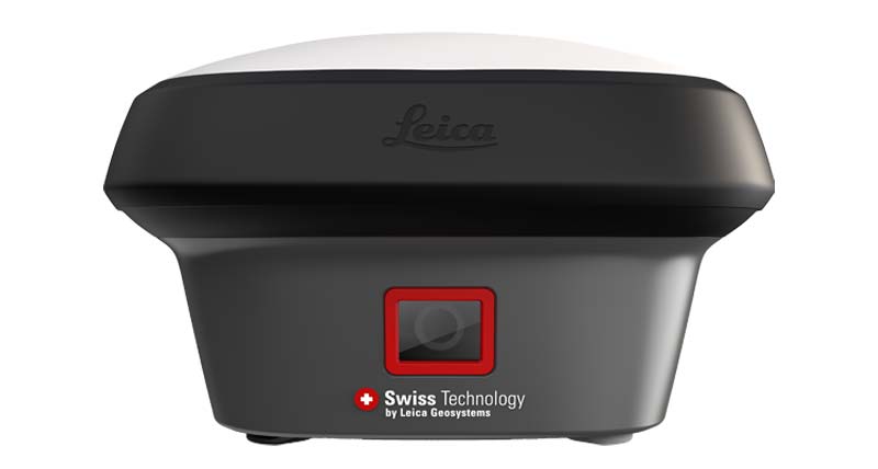
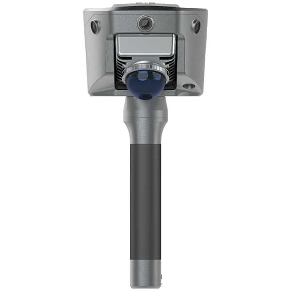
GNSS Systems

Our Geosystems are ideal for every GNSS application. Powerful GNSS technology for unmatched accuracy.
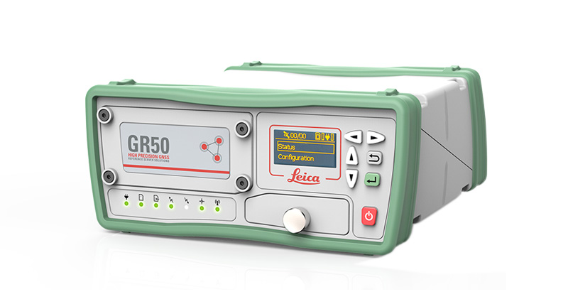
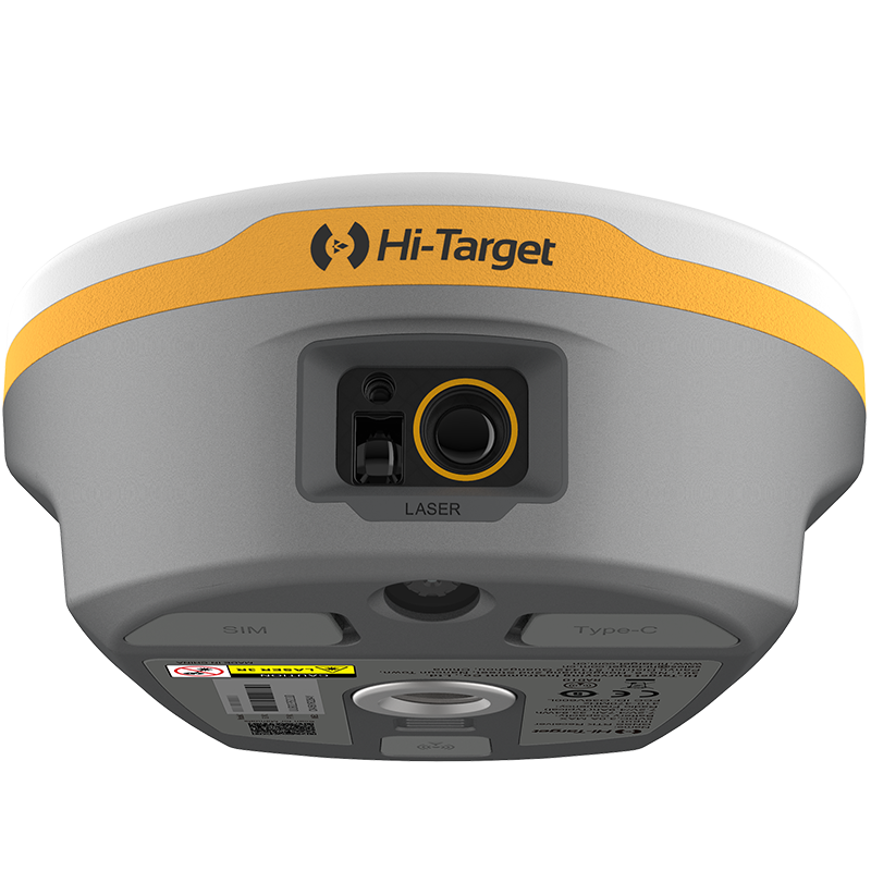
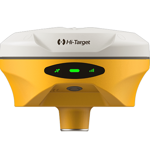
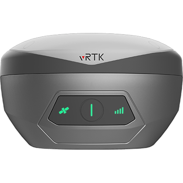
GNSS Receivers

Our innovative reference stations provide corrections from just a single reference station or a range of RTK networks.
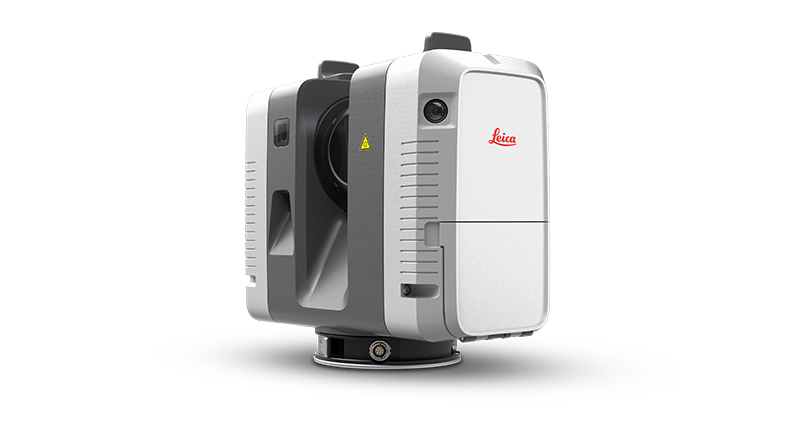
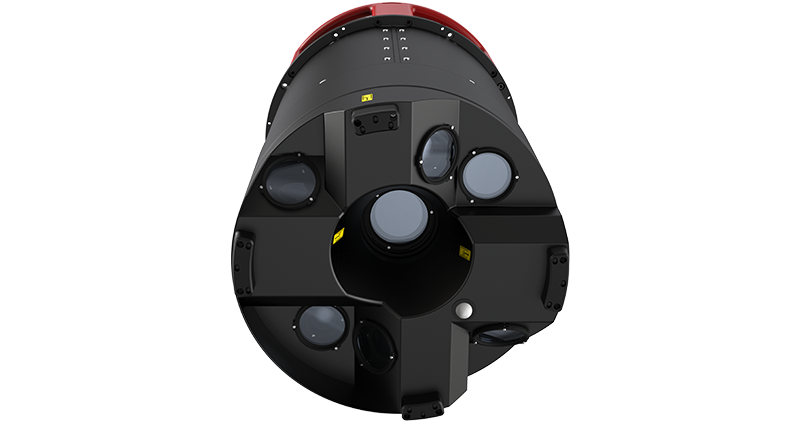
Laser Scanners

Delivering an outstanding range, speed, and the highest quality 3D data, our laser scanners are the perfect partner for any tasks in 3D laser scanning.

Laser Trackers

Our industrial laser trackers, theodolites, and laser stations provide high-accuracy probing, scanning, and measurement for large-volume industrial applications.
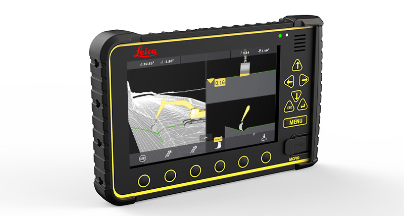
Control Systems

Have a greater possibility of integrating a personal alert solution and collision avoidance technology with machine control systems.

Construction Units

Construction Units (TPS & GNSS) with tailor-made hardware and software solutions for all positioning and measuring tasks in road and building construction.
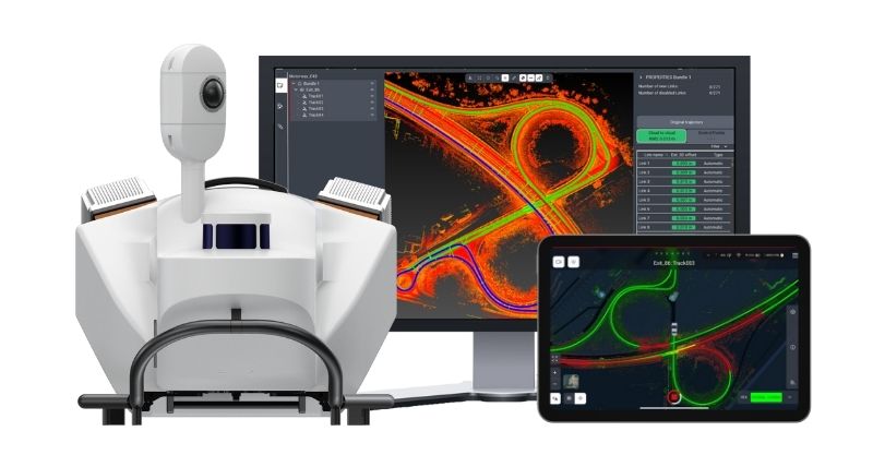
Mobile Systems

A complete Mobile Systems for mapping solutions from a single provider, including software for the capture, post-processing, and storing of the gathered data.

Airborne Systems

We supply quality Airborne Systems with solutions that offer the most advanced sensor technology and processing workflows for efficient mapping.
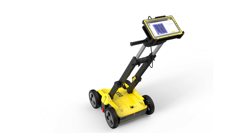
Detectors

Increase your safety and ultimately save your time and money with our innovative detection systems.
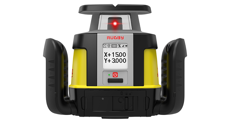
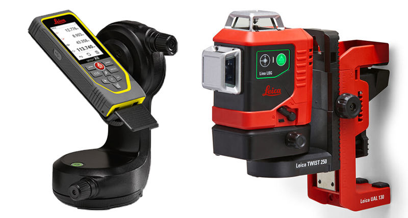
Lasers

Our lasers are built to perform in any general construction, pipe, machine control, or interior finishing.
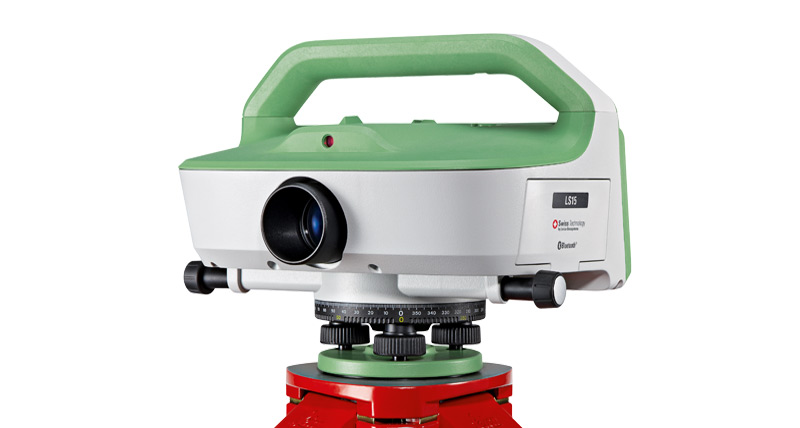
Levels

We offer the most comprehensive and robust range of levels in the market today to serve any environment.
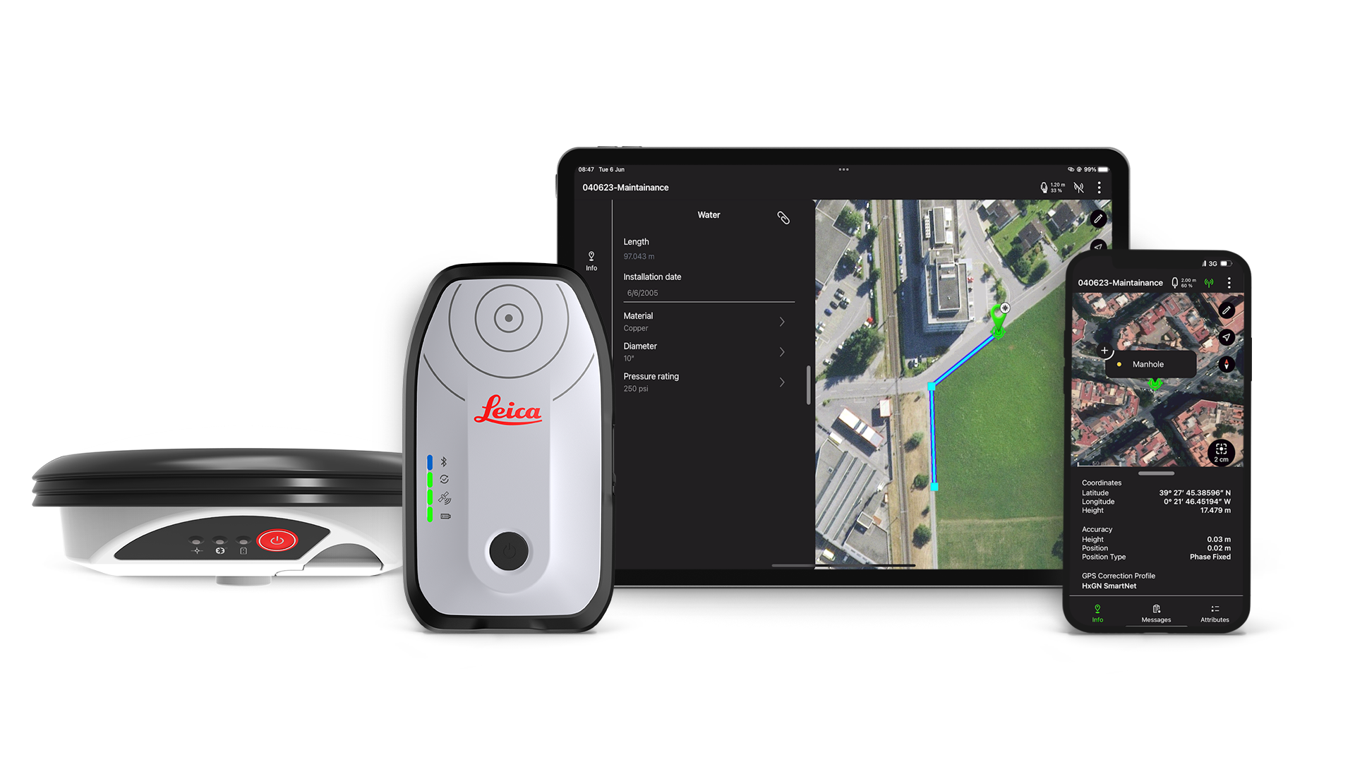
GIS Collectors

Whenever you need a reliable partner to geo-enable your mobile workforces with high accuracy and easy-to-use products, the GIS Collectors are the right choice.
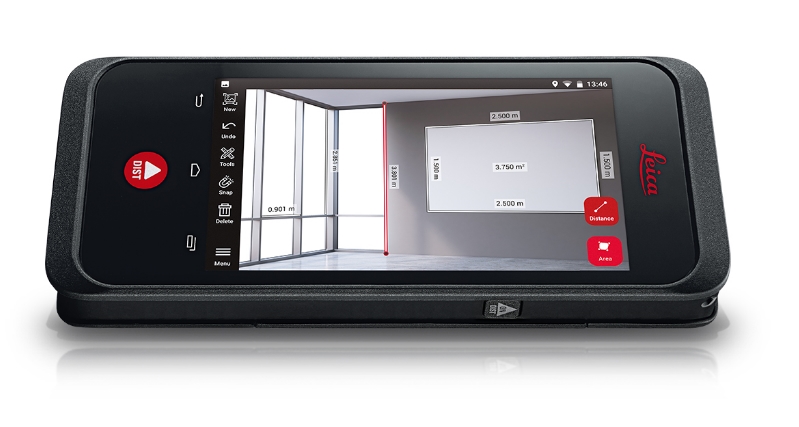
3D Imager

The 3D Imager sensors, software, and data processor make in-picture measurements with professional-grade accuracy in real-time possible.

Leveling Tools

Get our laser measuring, automatic line, and point leveling tools with green laser technology for 3D point-to-point measurement.

Why choose us

Tempor massa fames nunc vehicula cras donec vivamus amet non porttitor odio elementum lorem enim nulla tortor congue nunc varius commodo elit augue amet.

Engineering Surveying

Neque lacus nunc, vitae fames mattis proin dictum blandit quam.

Cadastral Surveying

Tempus enim sed urna blandit mauris semper ligula.

Topographic Surveying

Aenean morbi gravida aliquet volutpat, et ligula augue

Geodetic Surveying

Semper justo malesuada nibh ipsum in fermentum non.

Photogrammetry Surveying

Facilisis ut vulputate enim, viverra elementum, amet orci

Mining Surveying

Aenean morbi gravida aliquet volutpat, et ligula augue

Scroll to Top