Skip to content
Home
About
Services & Solutions
Products
Menu Toggle
Software
Projects
Blog
Contacts
Search for:
Search
Search
Shop
Shop
Main Menu
Home
About
Services & Solutions
Products
Menu Toggle
Software
Projects
Blog
Contacts
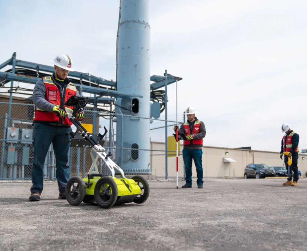
Underground Utility Detection, 3D Mapping And Surveying
Web Tech Experts
/
October 27, 2025
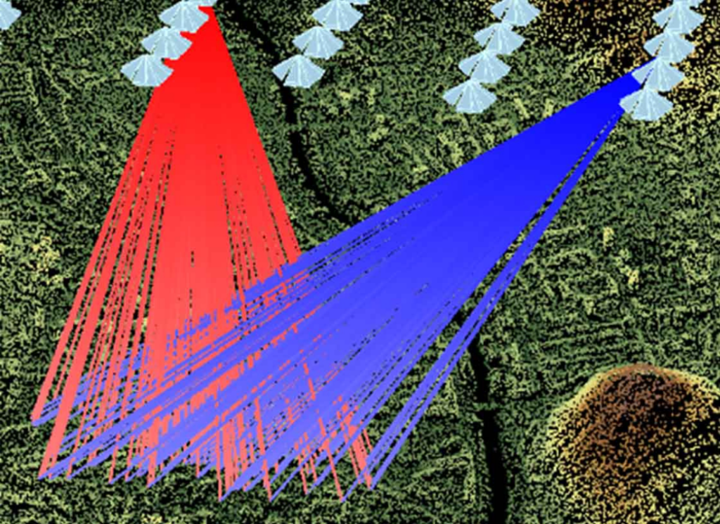
The Automatic Aerial Triangulation Survey Fundamentals
Web Tech Experts
/
March 21, 2025
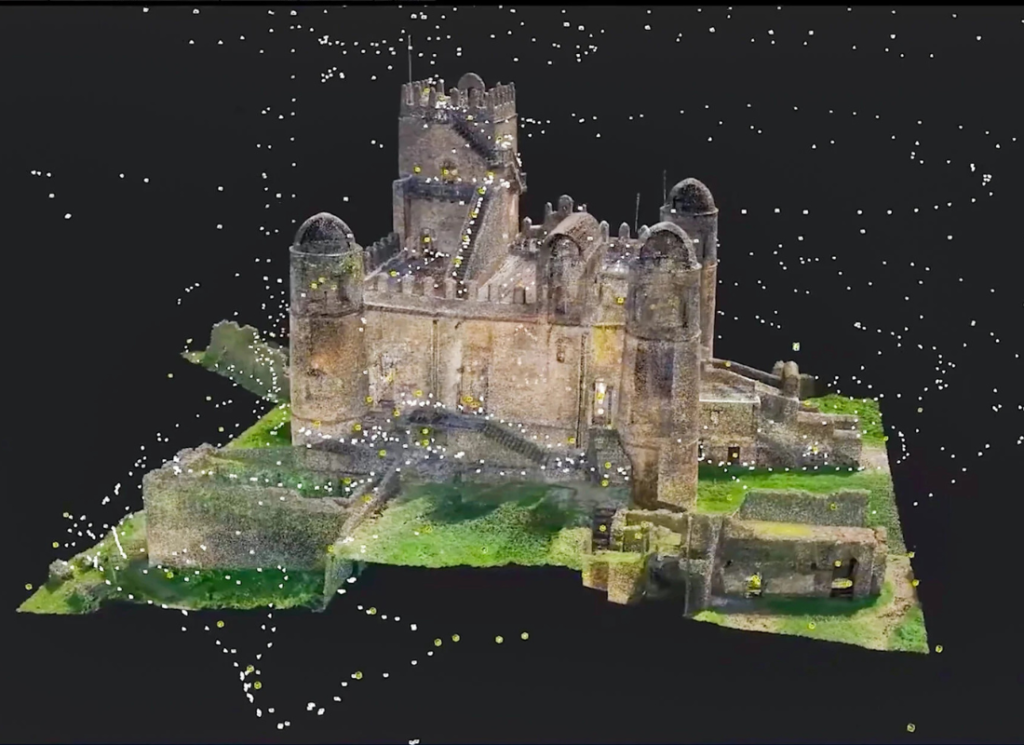
How Photogrammetry Helps Create Physical World Digital Model
Webtechex
/
November 1, 2024
How Aerial Surveillance Drones Help In Realtime Data Capture
Zach Karanja
/
March 19, 2024
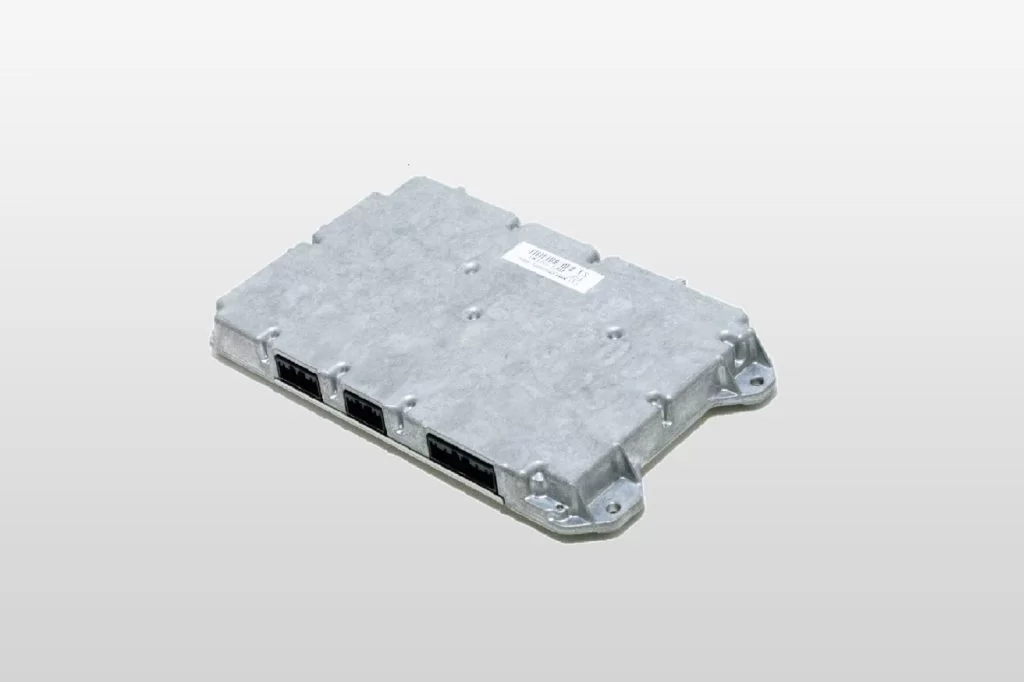
The Battery Management System (BMS) Tips Plus EV Charging Points
Webtechex
/
February 18, 2024
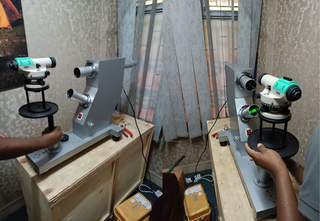
The Main Instrument Calibration Process For Optimal Precision
Medir Team
/
March 5, 2023
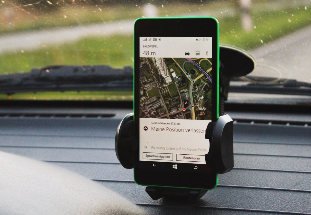
Navigation Systems | What Are They And How Do They Work?
Medir Team
/
February 20, 2023
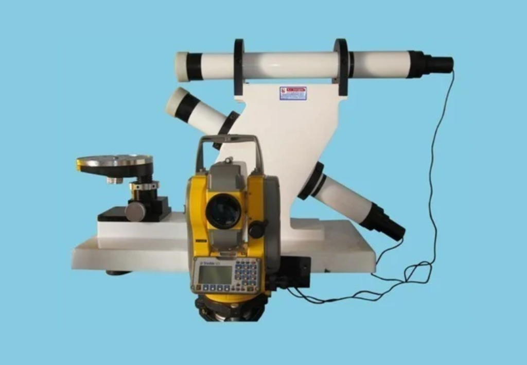
Precision Instrument Calibration Service Solutions Support
Webtechex
/
February 20, 2023
Scroll to Top