The Innovative Sustainability Team
Helping Deliver Engineering Certainty
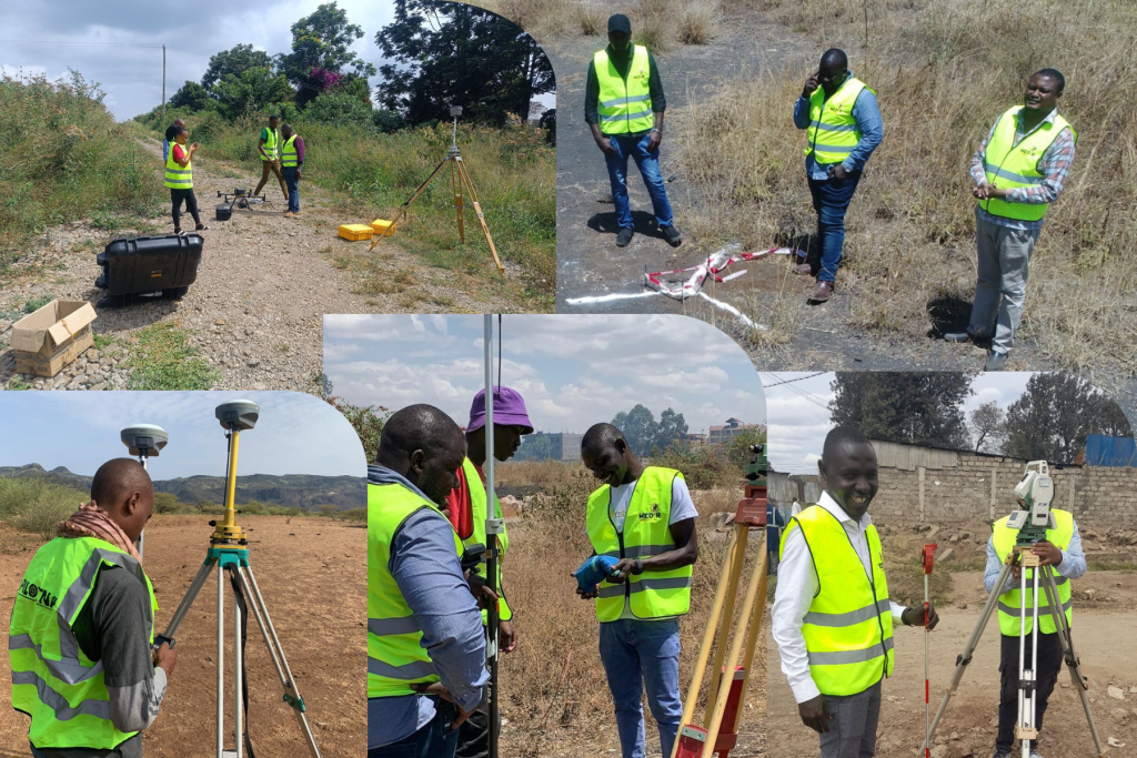
Over the years, Medir Instruments Limited, powered by its land surveying, mapping, and engineering experts, has provided exceptional Geospatial Services, meeting all clients’ needs to world-class standards. With that in mind, we deliver extensive services ranging from Conventional Land, Topographic, Geodetic, Cadastral, and Terrestrial LiDAR Surveys. Let our team help optimize your surveying and engineering projects with custom Geospatial services.
Our Customized Services
From engineering design and manufacturing support to aftermarket services, we partner with our customers to deliver the next generation of products, networks, and systems. Our customer satisfaction audits give us consistently high ratings around technical expertise, execution, ownership, on-time delivery, communication, meeting commitments, and client-centricity. As a result, we continue receiving customer and industry recognition for our work. Below are some of the services that we deliver.
Land Surveying & Engineering Works
Our company undertakes professional surveys and engineering-related activities such as:
- Topographic surveys
- Construction setting-out
- Boundary surveys
- As-built surveys
- Levelling and alignment
- Utility and infrastructure mapping
Ideal For: These services are essential in road construction, housing developments, agriculture, and infrastructure projects.
Navigation, Tracking & Mapping
We design and deploy comprehensive navigation, tracking, and mapping system solutions in:
- Fleet GPS tracking systems
- Asset monitoring solutions
- Real-time vehicle and equipment tracking
- GIS-based mapping systems
- Custom navigation and positioning solutions
- Geospatial data management
Applications: Logistics, transport, agriculture, mining, security, urban planning, and environmental monitoring.
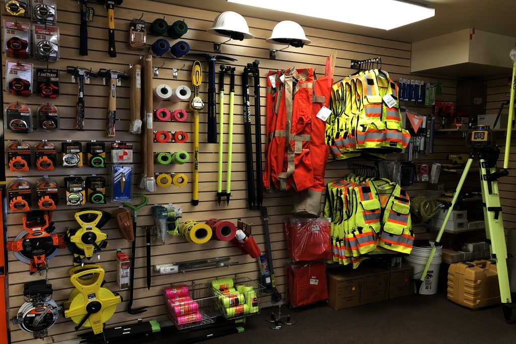
Surveying Equipment Sales & Hire
Medir Instruments Limited supplies and leases high-quality surveying and engineering instruments for short-term and long-term projects, including:
- Total Stations
- Theodolites
- Laser Levels
- GNSS/GPS Receivers
- Automatic & Digital Levels
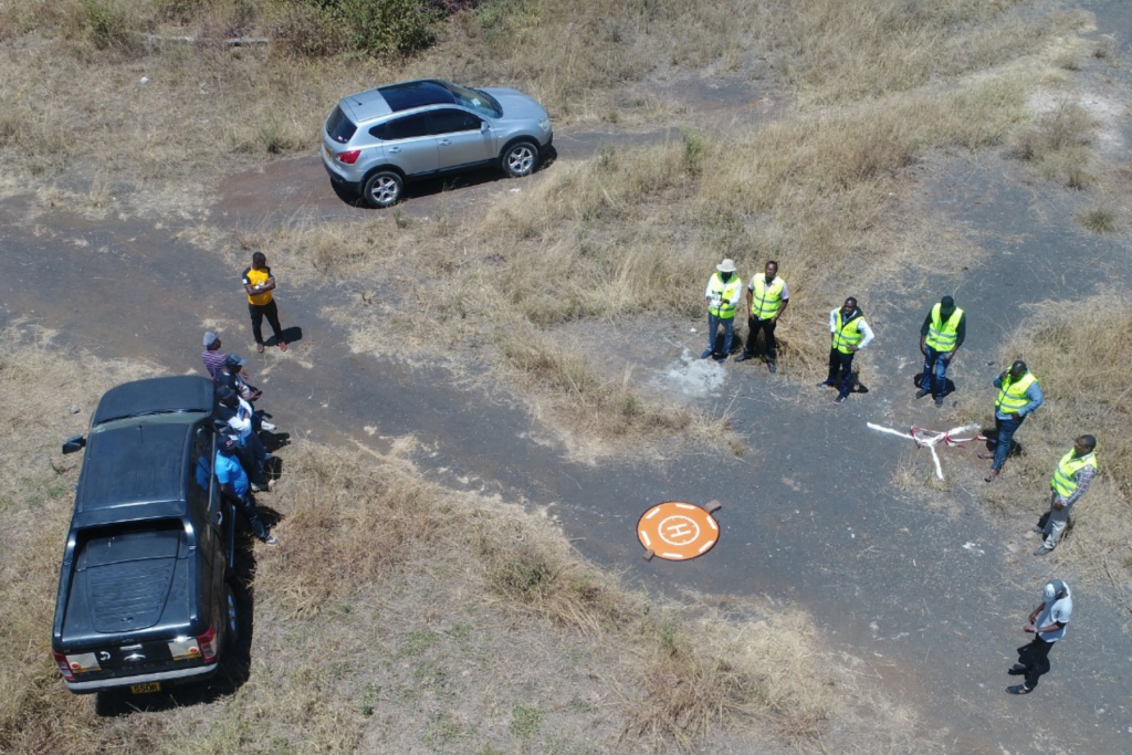
- Drones (UAVs) For Mapping
- Measuring Wheels & Accessories
Ideal For: Surveying firms, contractors, engineers, land developers, government institutions, and NGOs.
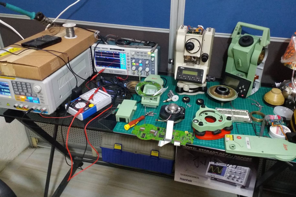
Equipment Servicing & Maintenance
Our company offers expert servicing to ensure precision, accuracy, and durability of surveying and engineering instruments, including:
- Calibration and testing
- Repair of damaged components
- Firmware and software upgrades
- Preventive maintenance
- Instrument accuracy checks
The Outcome: Minimizes downtime and extends equipment lifespan.
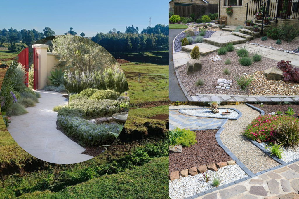
Yard Landscaping & Structure Maintenance
Our company offers outdoor maintenance solutions, including:
- Grass cutting & lawn care
- Landscaping and beautification
- Garden design
- Clearing & grading
- Tree management
- Irrigation setup
Clients: Residential, corporate, industrial, and municipal spaces.
Taskforce Training & Capacity Building
Medir Instruments Limited is empowered by a certified team of engineers who provide professional training in:
- Operation of surveying and engineering instruments
- Data collection and field techniques
- Survey processing and interpretation
- Use of GIS, GPS, and mapping software
- Safety practices on construction sites
Target group: Students, technicians, engineers, surveyors, and organizations.
Our Personalized Solutions
To help deliver high-quality solutions, we provide equipment of high-precision, accurate,
and quality equipment to our customers, and also provide accurate surveys and engineering setting out. To achieve this, we test to approve equipment and accessories before selling or hiring them to
ensure quality equipment reaches the clients. We also have a team of qualified and experienced staff
to ensure accurate and precise surveys and engineering works.
Get Personalized Solutions support
Let Our Engineers Do Everything!
- End-to-end land surveying & mapping solutions
- Smart construction layout & site planning
- Precision agriculture & smart farming solutions
- Real-time asset tracking & monitoring systems
- Geospatial data analysis & visualization
- Environmental & land-use management solutions
- Urban planning & infrastructural mapping solutions
We also offer other tailor-made solutions that combine technology, expertise, and local experience for accurate and efficient results. Some of them are as follows.
Software Development
We develop test, implement and support IT solutions that meet and exceed you needs; defined and tested by you!
Spatial Planning
We provide baseline surveys, spatial planning and implementation services to Governments, NGOs and developers in urban and real estate development
Satellite Observation
Satellite Observation data offers the potential to monitor events on earth continuously and accurately without the need for targeted physical surveys.
GIS & Remote Sensing
Make most of your GIS data. We facilitate development, capacity-building and Integration of GIS in to your business processes
Diverse Engineering
We provide Environmental Impact assessment services to a wide range of industries: Construction, Renewable Energy and Exploration.
Underground Mapping
offers tailored underground mapping solutions to help utilities, municipalities, oil and gas, and other infrastructure planners gauge the precise depth and configurations of buried assets before they start excavation.
Spatial Analysis
We support you make the best informed decisions based on location. Make the most of location; stand above the rest.
LiDAR Computing
LiDAR data contains accurate location and height—features such as houses, power lines, and roads are represented in 3D, exactly as they appear in the real world.
Geospatial Modeling
As an end-to-end provider of geospatial solutions, we leverage the full potential of geospatial technologies combined with our global delivery model and agile processes.
Data Acquisition
Our data acquisition capabilities allow us to capture high-resolution aerial and LiDAR data from fixed- and rotary-wing platforms. We also support vehicle-based mobile laser data capture.
Sustainable Planning
We develop business sustainability solutions that respond to your challenges, and enable you to implement your custom strategy effectively.
Applied Research
Knowledge is power. We provide market research, needs assessment, market intelligence and other forms of applied research. Let the data inform you.