01 / MEDIR SERVICES
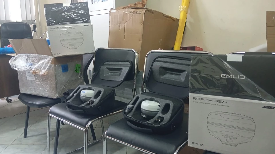
Equipment sales
Get the right instrument for the work you do. Explore total stations, GNSS systems, optical levels and field accessories.
Explore equipment ↗SERVICES & SOLUTIONS
A complete approach to your fieldwork: equipment, technical support and the people who know how to bring it all together.
Get the right instrument for the work you do. Explore total stations, GNSS systems, optical levels and field accessories.
Explore equipment ↗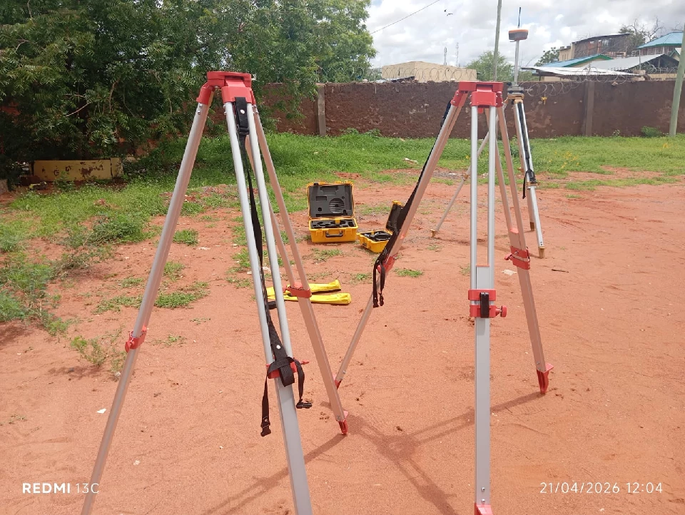
Hire Total Stations, RTK GPS, Ezicat Cable locators, 3D SLAM RTK and DJI Phantom 4 mapping drones for your next project.
Explore equipment hire ↗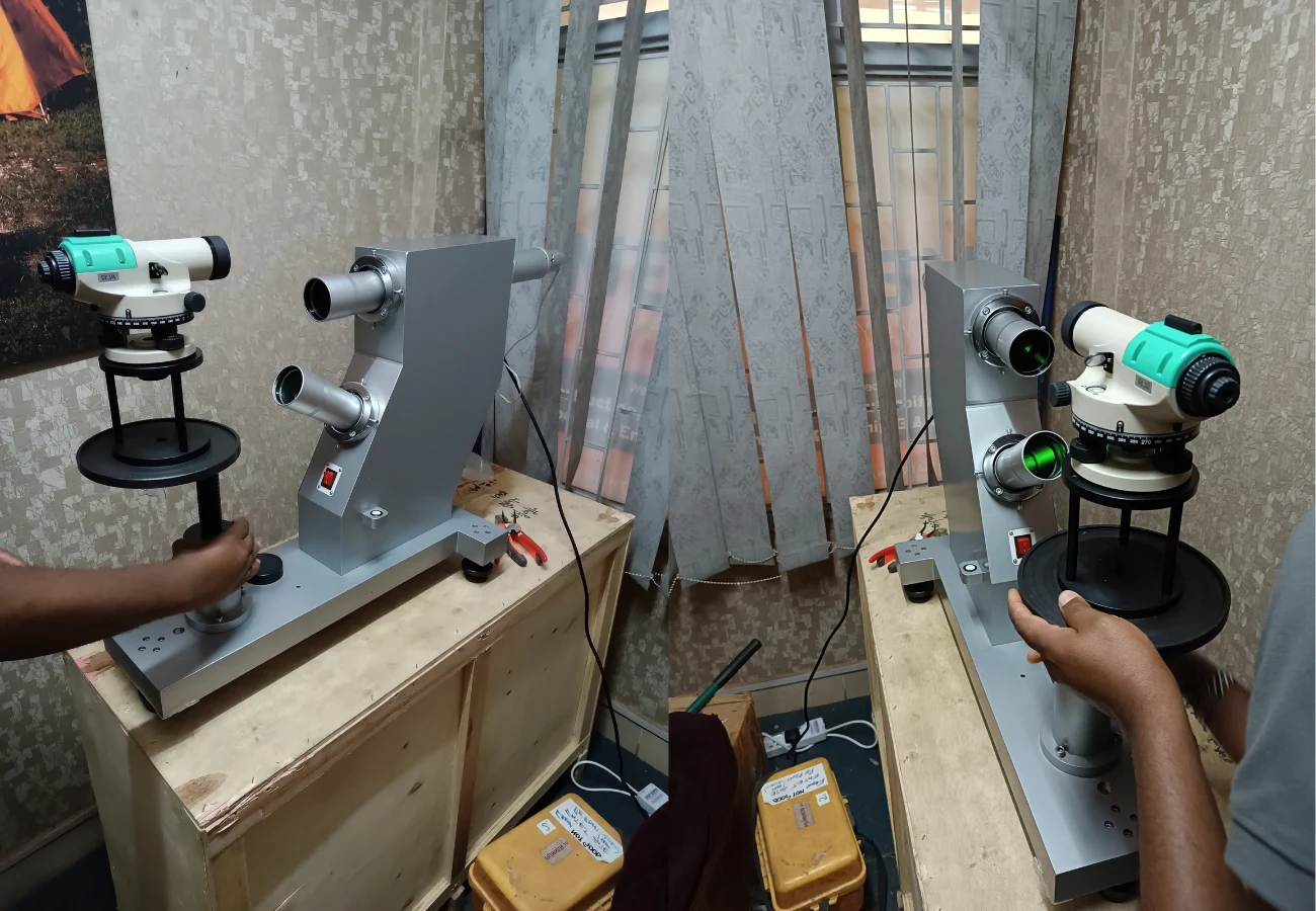
Keep your instruments working reliably with servicing, calibration and technical advice. Tell us the make, model and issue for an assessment.
Enquire about servicing ↗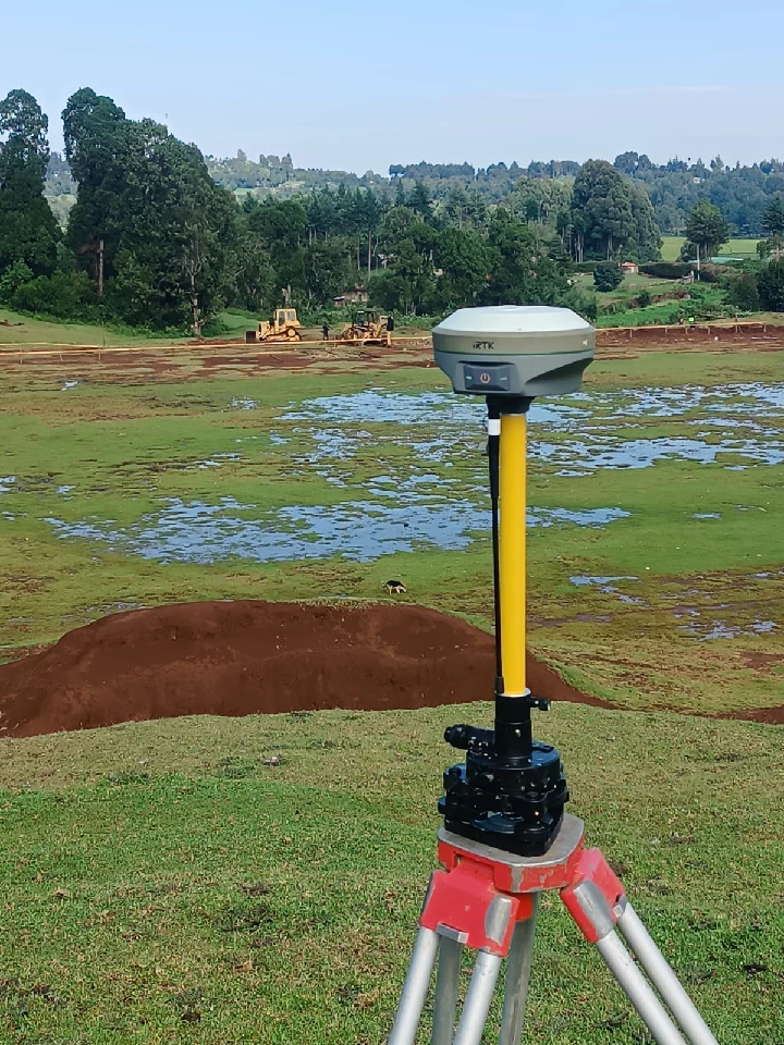
Professional land surveying, engineering setting-out and mapping support for site planning, construction and infrastructure projects.
Discuss a project ↗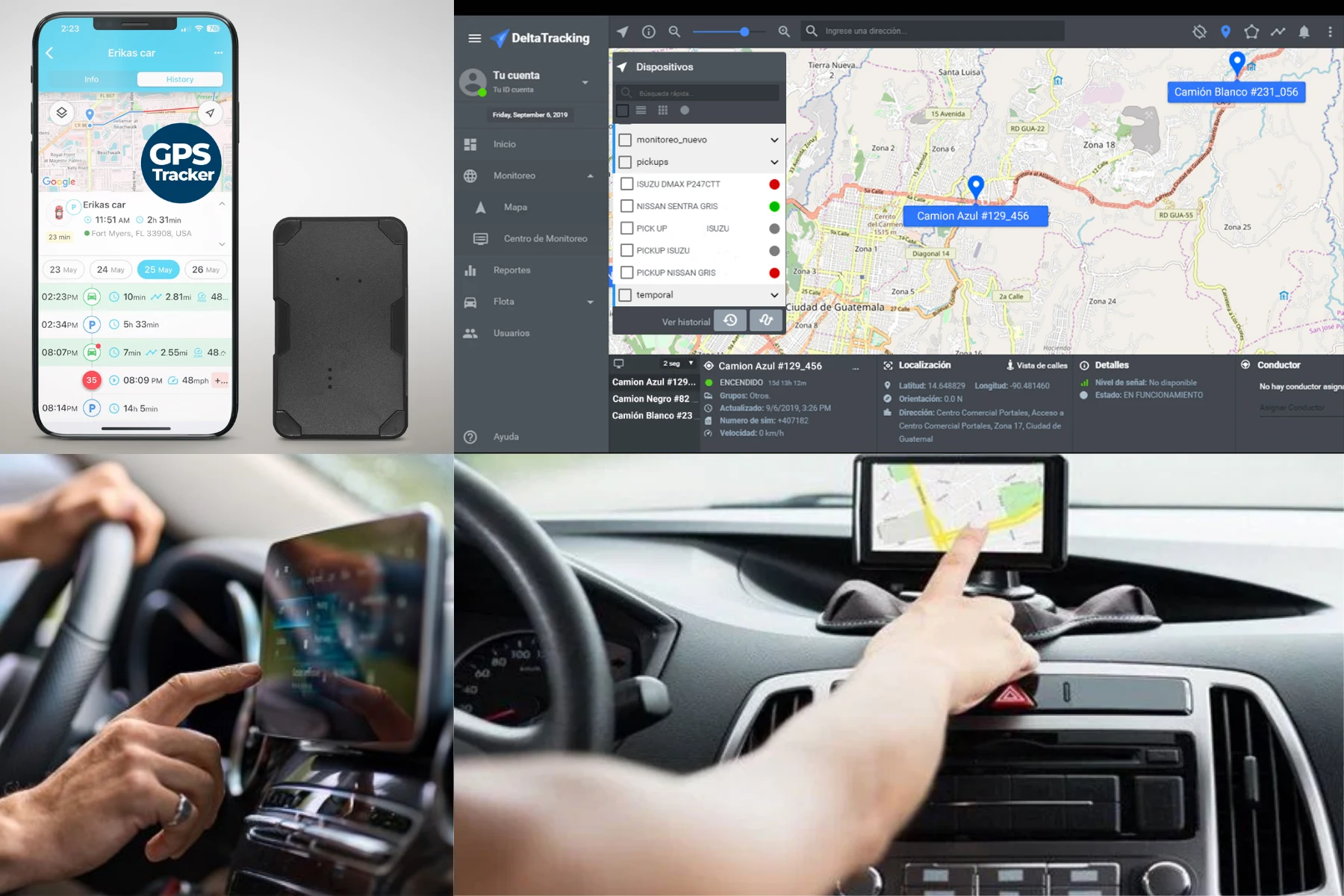
Connect field information to practical decisions with geospatial data analysis, mapping tools and navigation and tracking solutions.
Explore your requirements ↗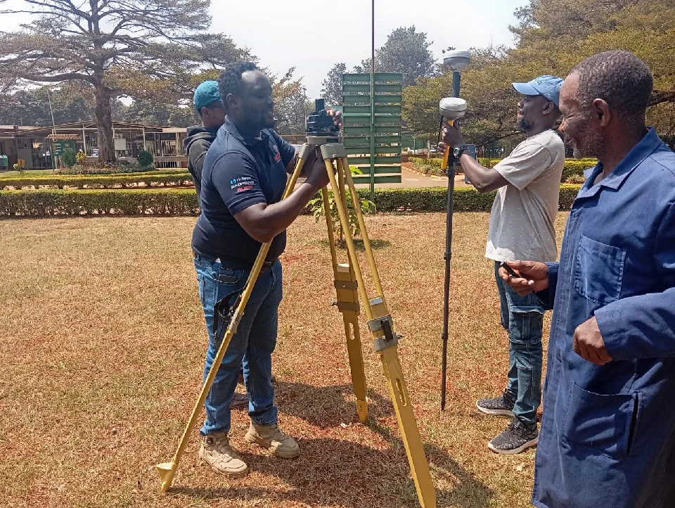
Build confidence in the field with practical guidance on survey instruments, workflows and data collection for your team.
Ask about training ↗EQUIPMENT HIRE · BUILT AROUND YOUR PROJECT
Keep your project moving without buying every instrument. Choose your equipment and tell us where and when you need it.
Check hire availability ↗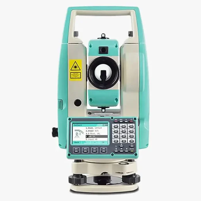
Angles, distances and construction layout.
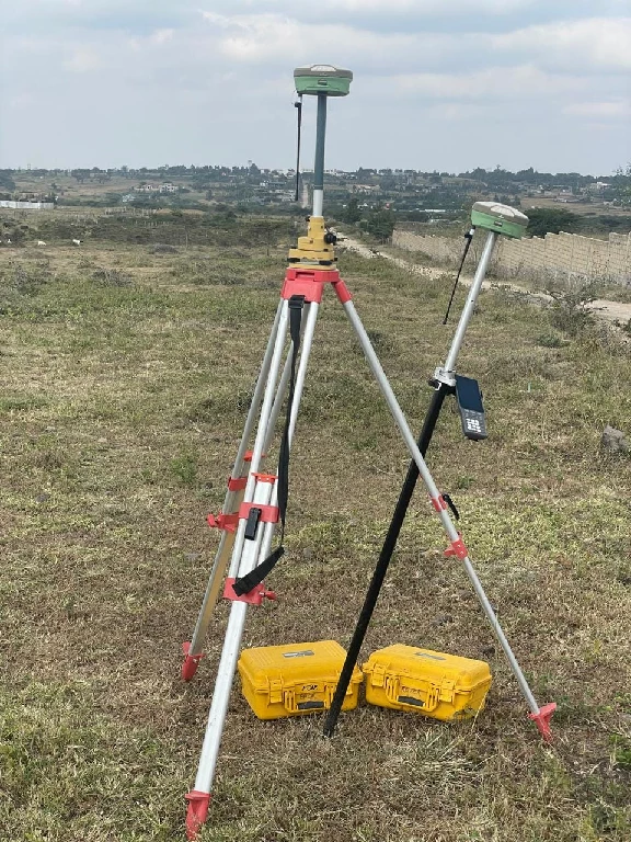
Survey points, control and field positioning.
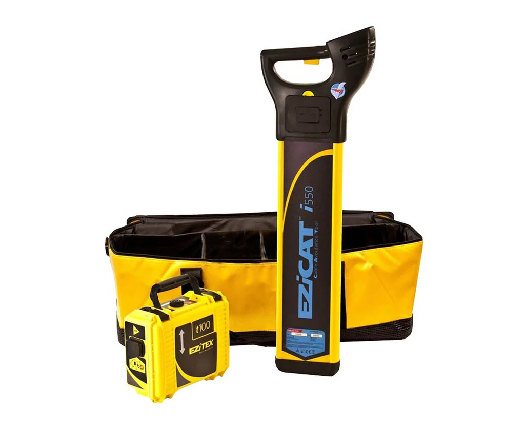
Trace buried services before site work.
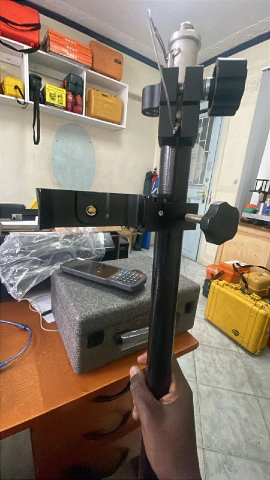
Spatial capture for complex sites and spaces.
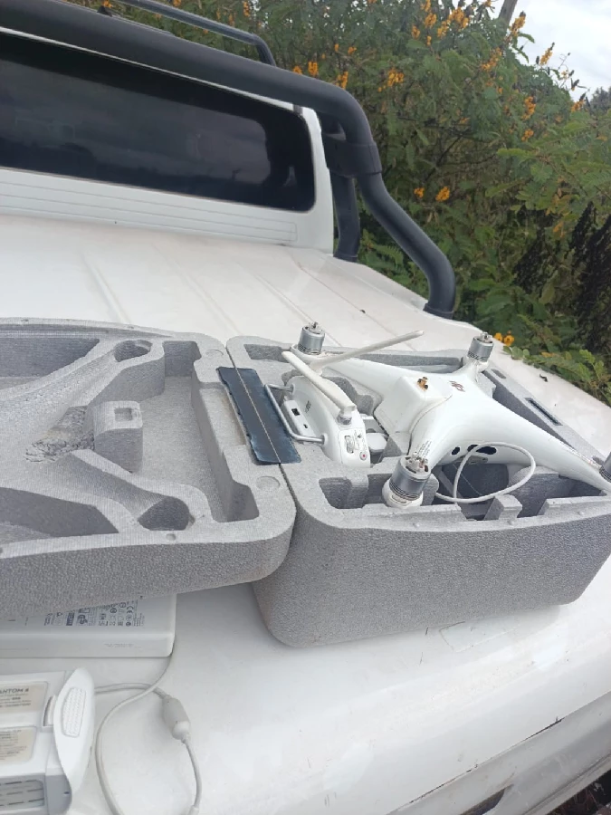
Aerial imagery for your mapping project.
SOIL & MATERIALS TESTING
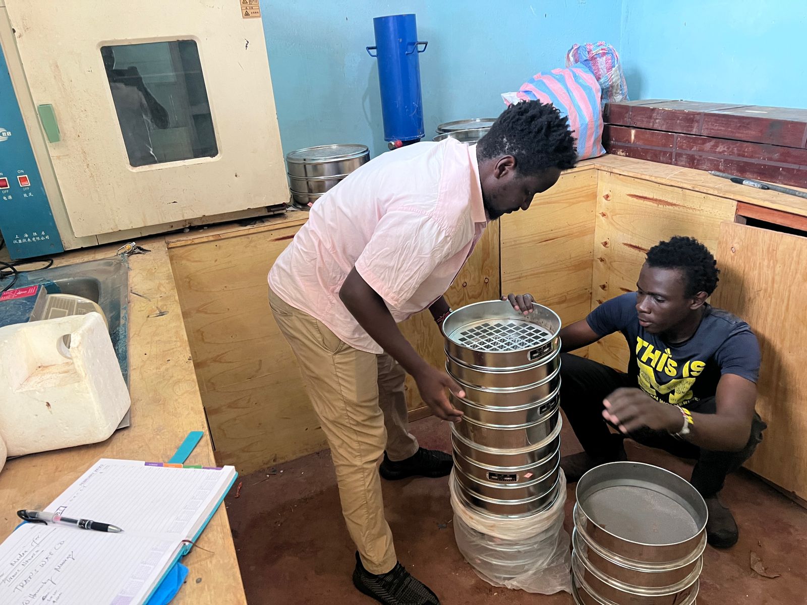
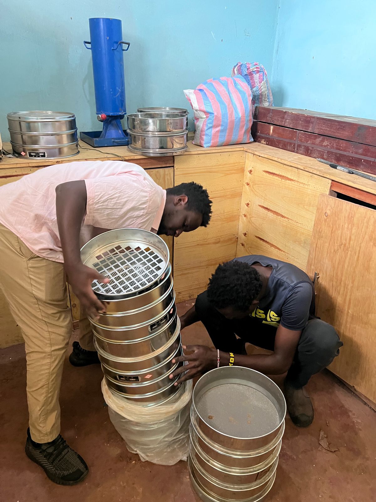
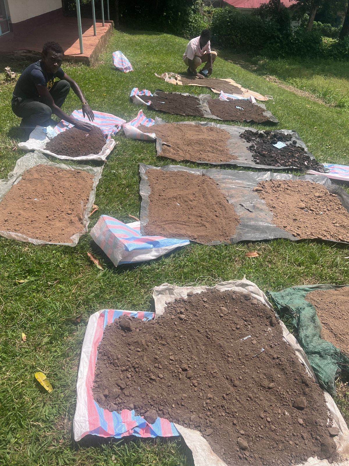
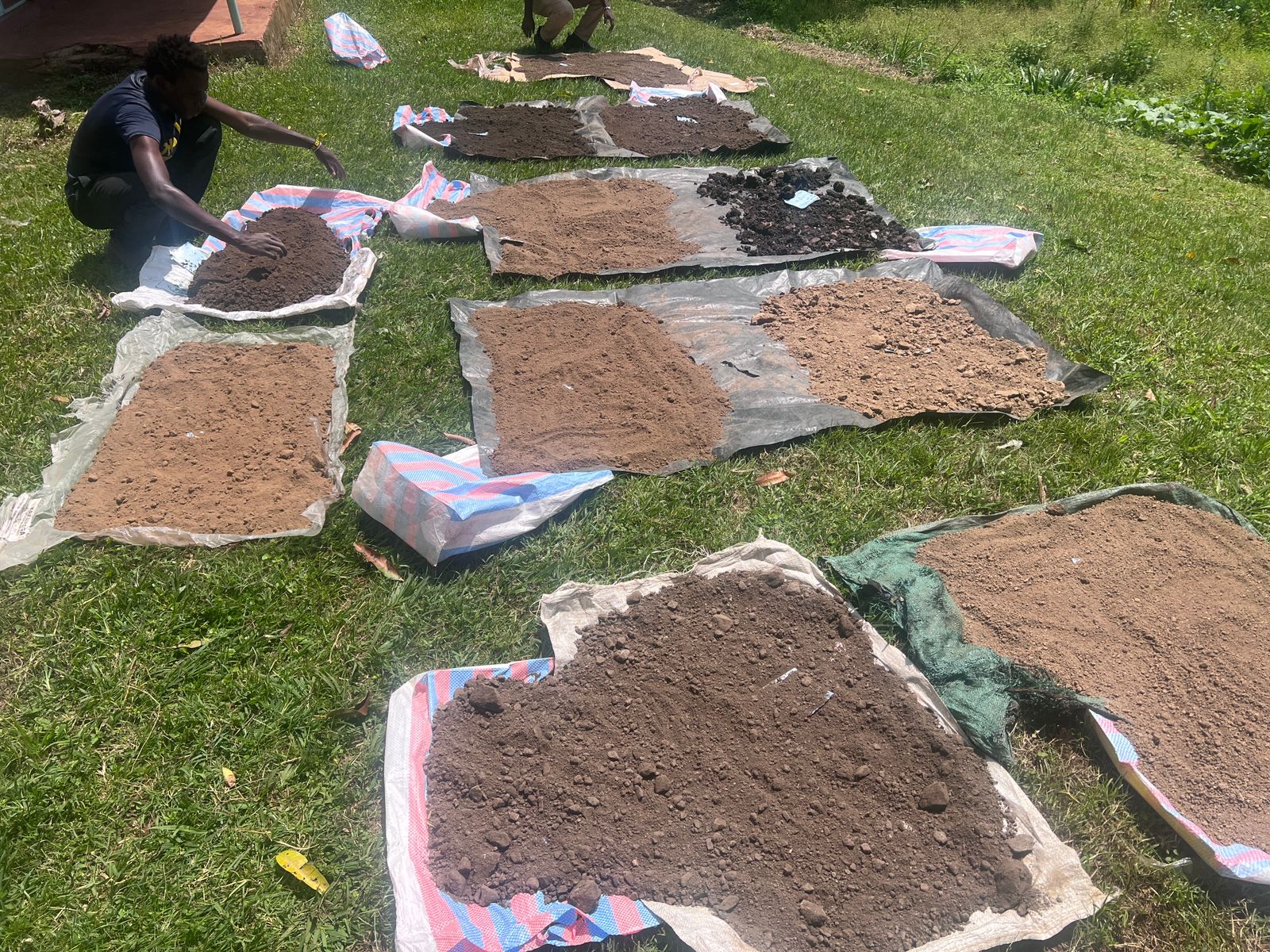
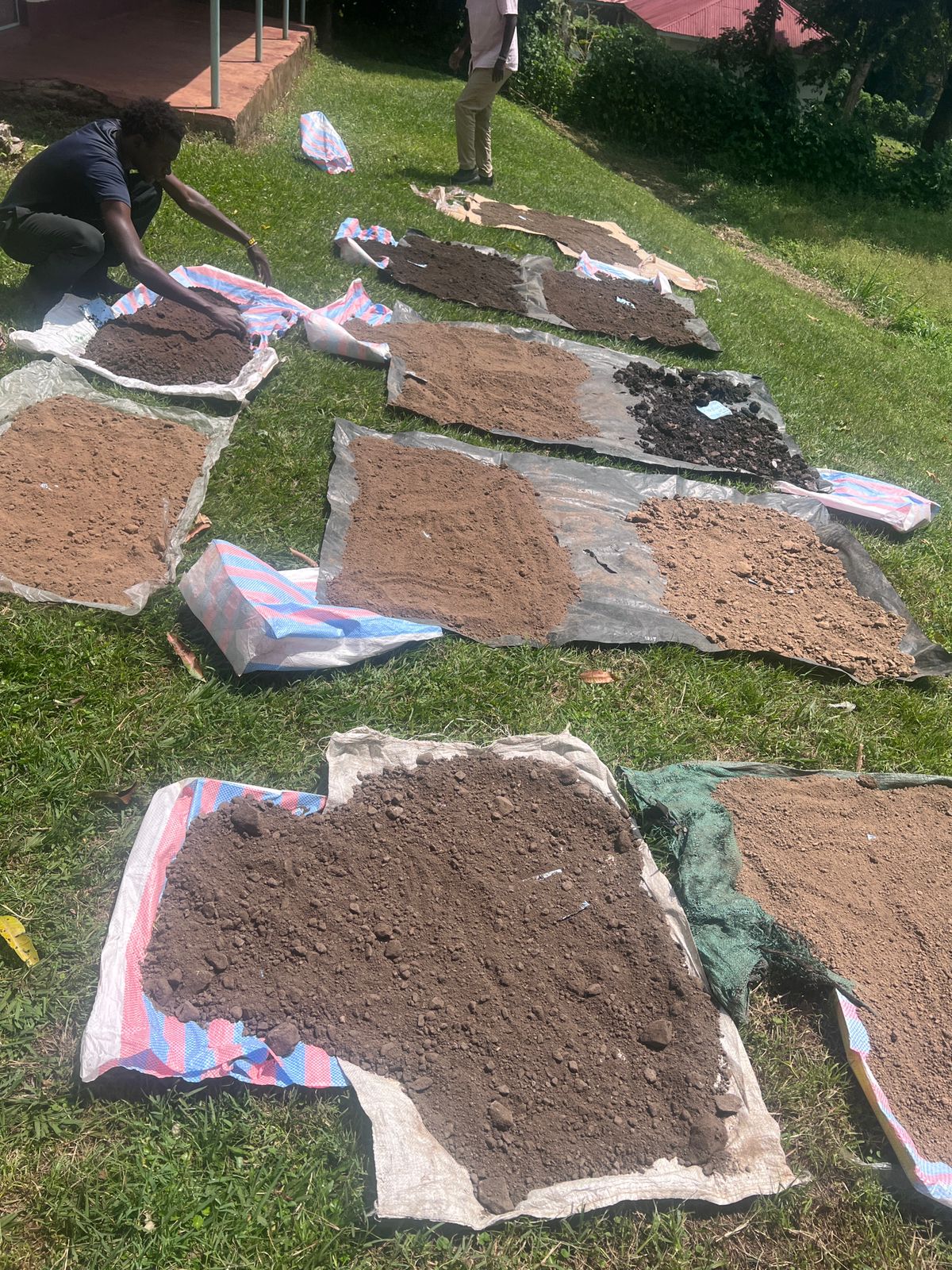
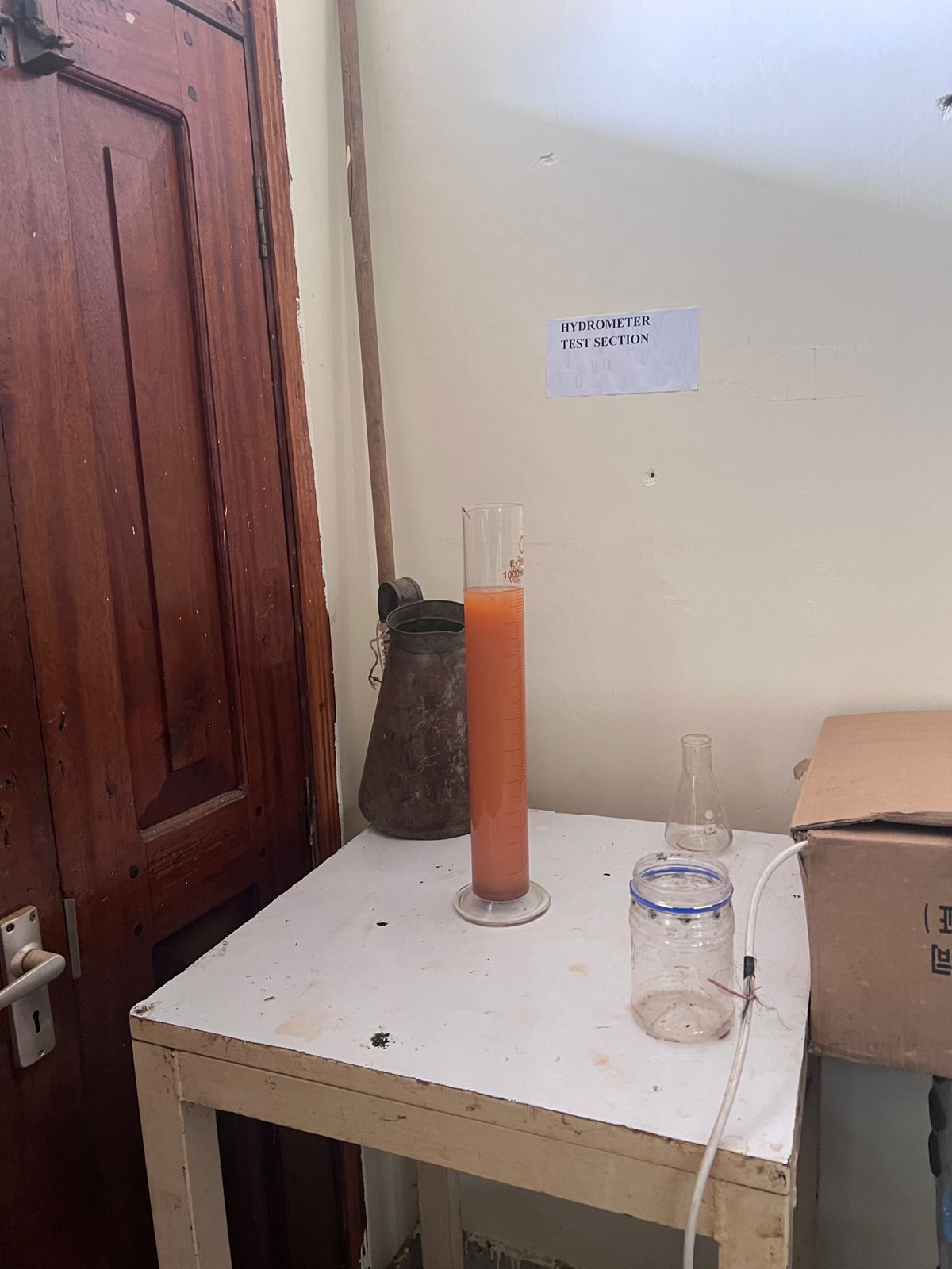
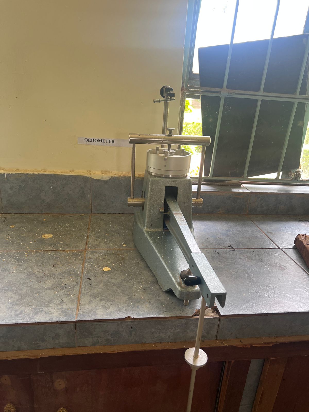
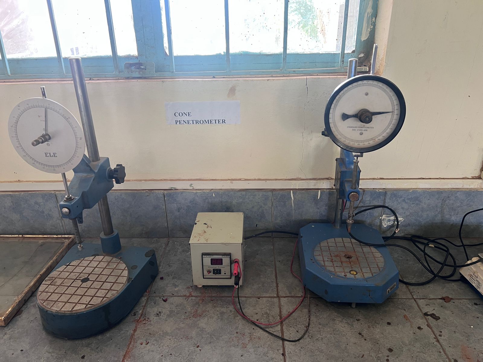
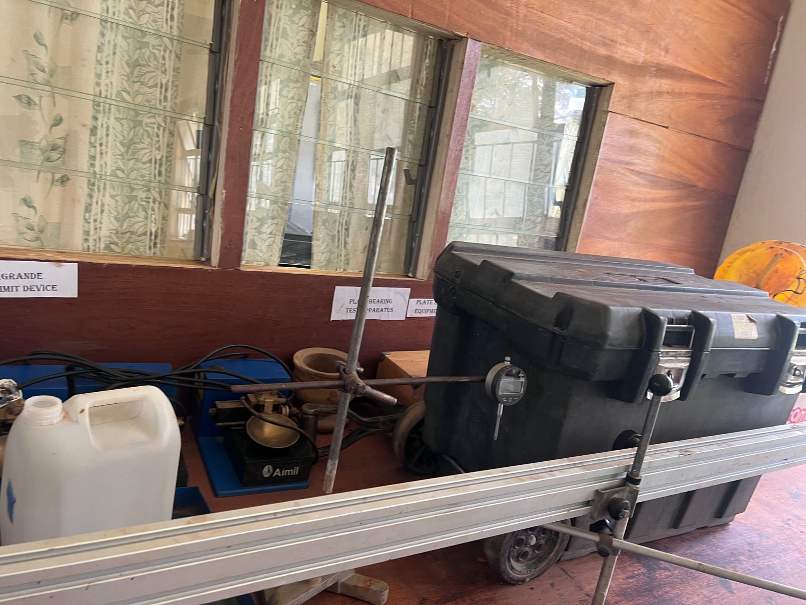
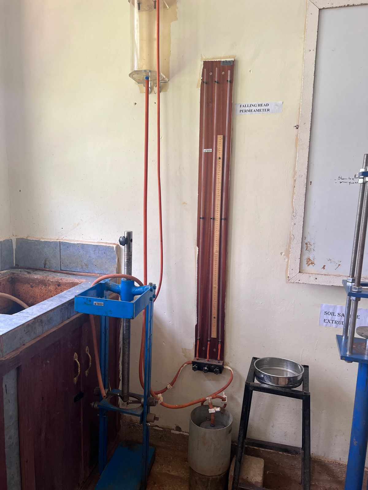
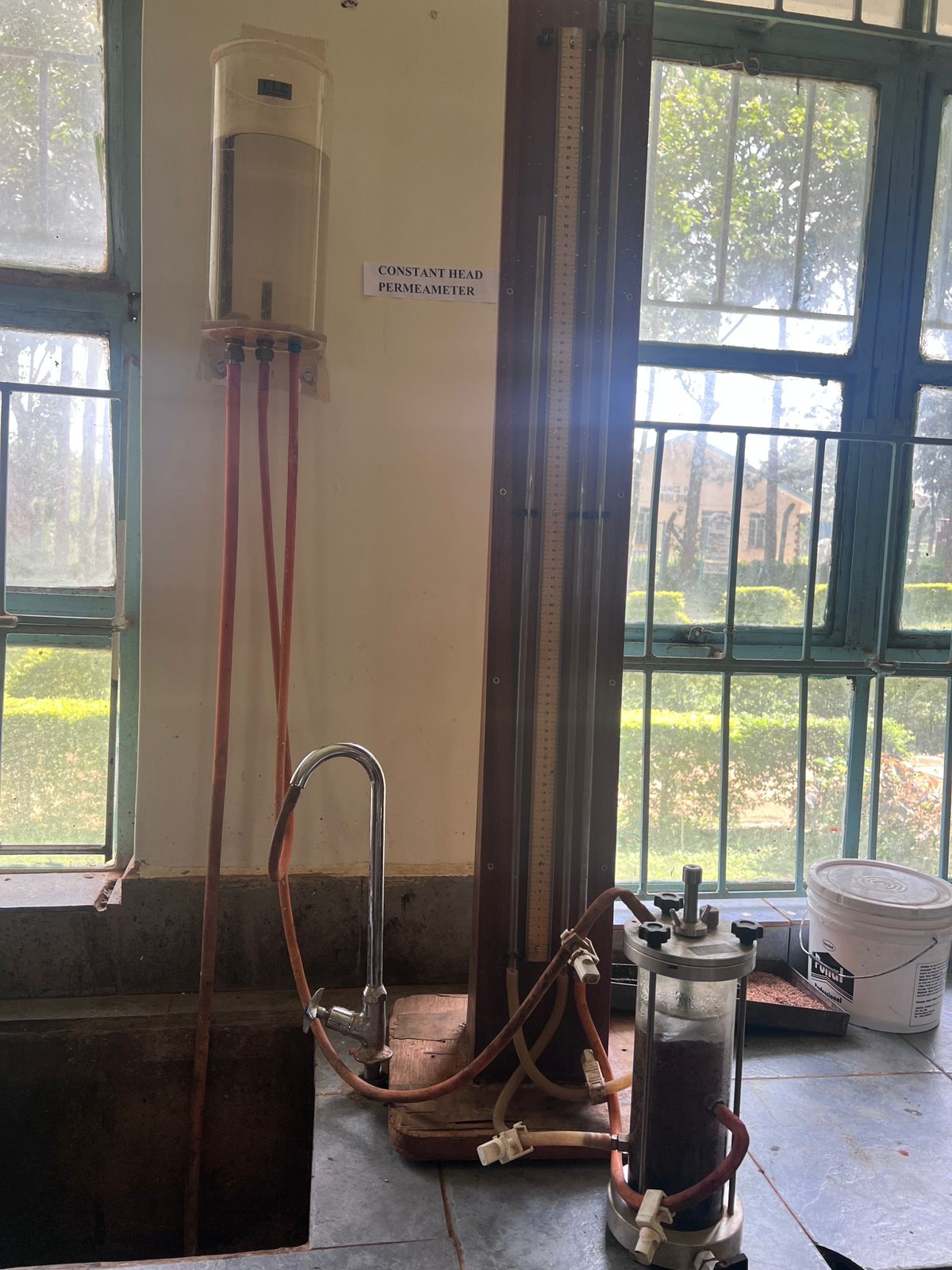
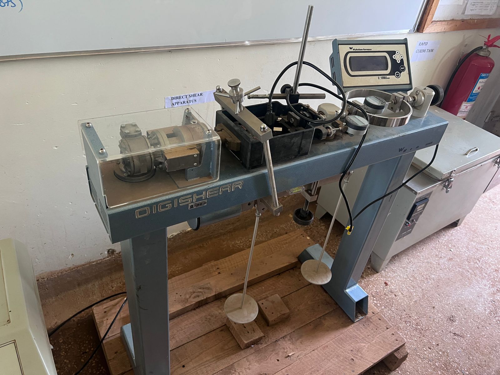
Soil sample preparation and laboratory testing help inform engineering decisions. Take a closer look at the sample preparation work and testing equipment below, then talk to Medir about the testing requirements of your project.
Preparing soil samples and sieve equipment for laboratory analysis.
Equipment for examining soil properties, including consolidation, permeability and shear strength.
AERIAL MAPPING
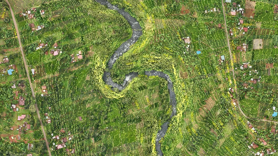
Aerial imagery brings rivers, roads, buildings and surrounding land into one view. Combined with field measurements, it helps teams understand a site before planning their next steps.
Talk to Medir about drone mapping, ground survey support and the information your project needs.
Discuss a mapping project ↗A STRAIGHTFORWARD PROCESS
Share your requirements, location, timeframe and equipment needs.
We’ll discuss suitable equipment or services and prepare a quotation.
Arrange collection, delivery, training or field support with our team.