Medir Instruments Limited
The Marketplace Leaders In RS Mapping & GIS Products
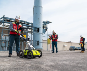
Medir Instruments Limited prides itself on attention to detail and our ability to provide knowledge-driven and cost-saving solutions support for the most complex construction projects. Today, we are recognized as a regional leader in our industry for our strength in advanced surveying methods and supply of precise surveying tools. You can consult our team for custom services and solutions.
When It Comes To Reliability, Medir Instruments Team Are The One You Need!
Medir Instruments Limited is a locally incorporated, wholly owned, and managed by indigenous Kenyans. The company engages in sales, hiring, servicing, and training of surveying and engineering field equipment and accessories. We also set out engineering works, survey works processing, overall (navigation, tracking, and mapping) systems solutions, yard landscape maintenance, etc.
It’s the engagements of our firm in work in varying industries that have us invaluable experience with the physical and contractual requirements, problems associated with survey project implementation, and GIS/RS/Survey equipment sales. Together with our partners, like the Web Tech Experts firm, we have a team of qualified and experienced staff to ensure accurate and precise surveys and engineering works.
Delivering Intelligent Engineering And Integrating Innovative Technology Into Futuristic Businesses
We are building a sustainable tomorrow — Together — while being driven by Medir Instruments Limited Core FIRST Principles
We deliver intelligent engineering and technology solutions for creating a digital, autonomous, and sustainable future for 300+ customers, including 40% of the top 100 global innovators. As such, we are committed to designing a culturally inclusive, socially responsible, and environmentally sustainable tomorrow with our stakeholders.
We have established enduring relationships with global leaders by understanding their business needs, brand guidelines, company cultures, and core values. Be that as it may, three words describe our unique approach when working with our target clients and potential clients to help improve their operations and the lives of their customers.
The Key Medir Core FIRST Principles
Our Main Business Objectives
Remarkably, Medir Instruments together with its key partners has ably worked and contracted projects for diverse clients. Equally important, the key company staffs have local and international experience in surveying and survey instrument training.
Our intent is to provide equipment of high precision, accuracy, and quality to our customers, as well as provide accurate surveys and engineering settings. So, to achieve this, we test-approve all our equipment and accessories before selling or hiring them. In particular, to ensure that quality products reach our clients.
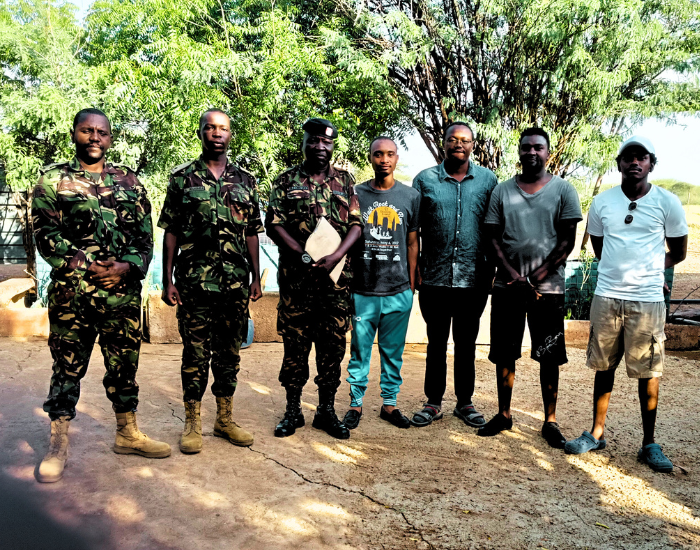
Why Medir Instruments Limited
The Surveying And Engineering Experts

Surveying Tools
Access to unlimited tools which has enabled us to record field data quickly in electronic form and process the same to DXF format.

Engineering Tools
Up-to-date computer hardware and software items to enable computer-aided design and drafting and setting out of engineering works.
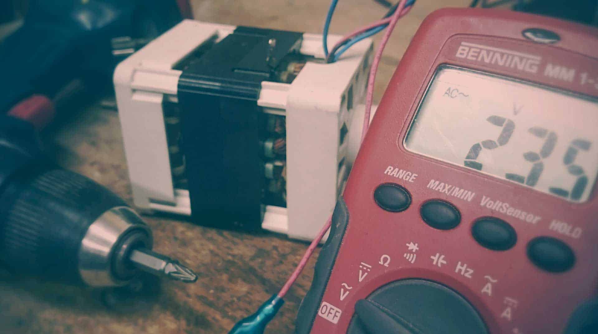
Testing Tools
Access to a fully equipped laboratory with the following testing capability: Equipment accuracy testing as well as Equipment calibration options.

Geospatial Service Solutions
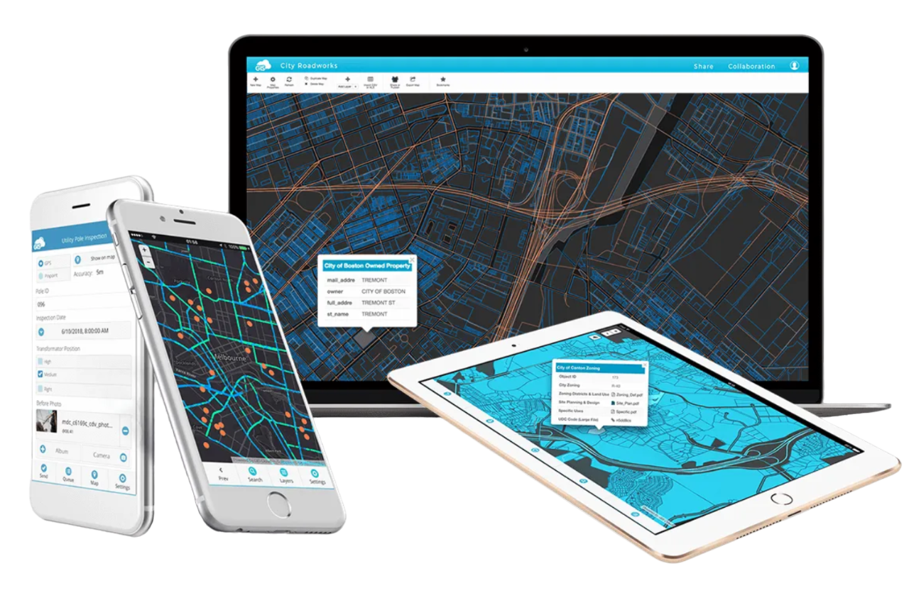
For beginner engineers, Geospatial Service Solutions is a set of technologies and tools that enable the collection, analysis, and visualization of geospatial data. This is any data that is indicated by or related to a geographic location. In most cases, Advanced Geospatial Solutions are used in various industries, including agriculture, forestry, mining, transportation, and urban planning.
Over two and a half decades, Medir Instruments Limited has built an outstanding reputation for Geospatial Service Solutions with customers in automotive and rail, energy and natural resources, communications and utilities, and the public sector. We help them acquire, manage, and exploit geospatial information to gain actionable insights, make informed decisions, and improve business and societal outcomes.
Helping Map Your World!
Offline And Online Mapping
On one hand, Remote Sensing (RS) is a surveying and data collection technique, used to survey and collect data regarding an object. On the other hand, Geographic Information System (GIS) is a computer system that consists of software used to analyze the collected data and hardware that the software would operate in. To enumerate, Engineering Surveying is a process that involves determining the position of natural and man-made features on or beneath the Earth’s surface and utilizing these features in the planning, design, and construction of works. It is a critical part of any engineering project.

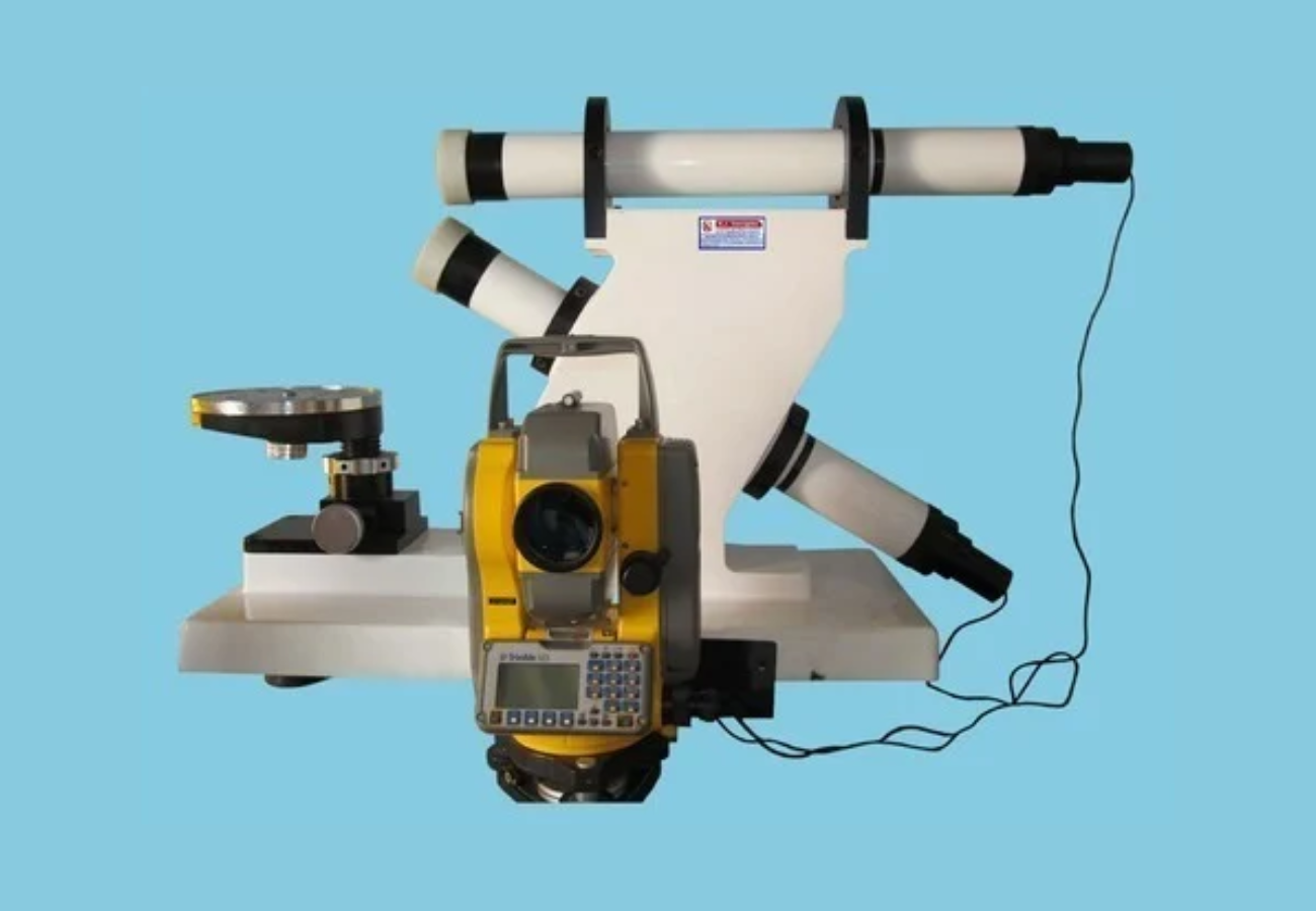
Precision Instrument Calibration
It’s worth noting that Precision Instrument Calibration is one of the primary processes used to maintain instrument accuracy. In other words, calibration is the process of configuring an instrument to provide a result for a sample within an acceptable range while eliminating or minimizing factors that cause inaccurate results. Furthermore, eliminating or minimizing factors that cause inaccurate measurements is a fundamental aspect of design.
Proper Instrument Calibration for precision purposes helps ensure that equipment remains within validated performance limits, that patient results are reported accurately, and that test results most accurately represent the values of samples. On that note, knowing the calibration process will help clarify its role and determine when it should be performed.
Explore Futuristic Engineering Tools
Featured Products From Medir Store
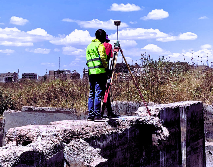
We have undertaken various surveys ranging from mutation, cadastral, topographic, and engineering surveys. In surveying accessories and equipment sales, Medir Instruments Limited has supplied equipment to different companies and individuals within the country.
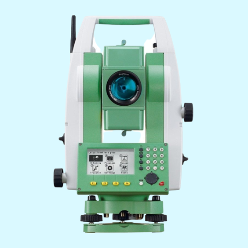
Total Station
An instrument with a built-in emitter, capable of emitting microwaves and infrared signals — used to measure angles and distances electronically. It then processes data trigonometrically to give (at a minimum) position coordinates in space.
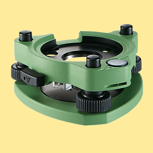
Tribrach Instrument
It allows the survey instrument to be repeatedly placed in the same position over a surveying marker point with sub-millimeter precision, by loosening and re-tightening a lock to adjust the instrument base in a horizontal plane.
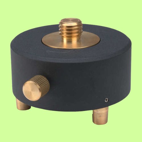
Tribrach Adapter
An attachment plate used to attach a surveying instrument and place it in position. For example, a Theodolite, Total Station, GNSS Antenna, or target to a Tripod. It allows the instrument to be placed over the same point precisely.
Esteemed Business Partners
Join our team of certified engineers or partner with our business to deliver even more services, solutions, products, and support.




Engage Medir Instruments Support Team!

Request For A Callback
Let our able Medir Instruments Limited support team of surveyors and engineers take care of your organization’s needs — so that you can focus on other essential company demands and critical business needs. With that in mind, contact our technical support consultants — you can use the form below to request a complimentary phone callback.

