Medir Instruments Limited Expert Geospatial Services
Our Team Will Help Optimize Your Surveying And Engineering Projects
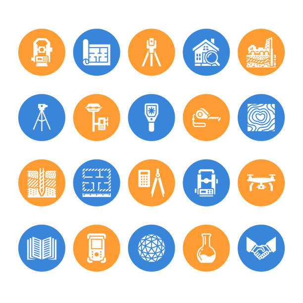
Over the years, Medir Instruments Limited land surveying, mapping, and engineering experts have provided exceptional Geospatial Services, meeting all clients’ needs to world-class standards. With that in mind, we deliver extensive services ranging from Conventional Land, Topographic, Geodetic, Cadastral, and Terrestrial LiDAR Surveys.
As Featured On:
Progress Tracker
Track your progress with our app.
- Mauris at proin sapien
- Sodales sed pulvinar venenatis
- Sed ac pellentesque sed
Smart Notification
Never miss your fitness routine.
Proin massa odio amet tellus dignissim condimentum in viverra eget rhoncus, adipiscing eget ut donec vel enim, ultrices vestibulum nisl vel blandit dui enim hac sed a at laoreet eget sagittis dictum.

Innovative And Sustainable Services
From engineering design and manufacturing support to aftermarket services, we partner with our customers to deliver the next generation of products, networks, and systems. Our customer satisfaction audits give us consistently high ratings around technical expertise, execution ownership, on-time delivery, communication, meeting commitments, and client-centricity. As a result, we continue receiving customer and industry recognition for our work.
Software Development
We develop test, implement and support IT solutions that meet and exceed you needs; defined and tested by you!
Spatial Planning
We provide baseline surveys, spatial planning and implementation services to Governments, NGOs and developers in urban and real estate development
Satellite Observation
Satellite Observation data offers the potential to monitor events on earth continuously and accurately without the need for targeted physical surveys.
GIS & Remote Sensing
Make most of your GIS data. We facilitate development, capacity-building and Integration of GIS in to your business processes
Diverse Engineering
We provide Environmental Impact assessment services to a wide range of industries: Construction, Renewable Energy and Exploration.
Underground Mapping
offers tailored underground mapping solutions to help utilities, municipalities, oil and gas, and other infrastructure planners gauge the precise depth and configurations of buried assets before they start excavation.
Spatial Analysis
We support you make the best informed decisions based on location. Make the most of location; stand above the rest.
LiDAR Computing
LiDAR data contains accurate location and height—features such as houses, power lines, and roads are represented in 3D, exactly as they appear in the real world.
Geospatial Modeling
As an end-to-end provider of geospatial solutions, we leverage the full potential of geospatial technologies combined with our global delivery model and agile processes.
Data Acquisition
Our data acquisition capabilities allow us to capture high-resolution aerial and LiDAR data from fixed- and rotary-wing platforms. We also support vehicle-based mobile laser data capture.
Sustainable Planning
We develop business sustainability solutions that respond to your challenges, and enable you to implement your custom strategy effectively.
Applied Research
Knowledge is power. We provide market research, needs assessment, market intelligence and other forms of applied research. Let the data inform you.
Get Started...
Strategic Planning
We build technology for decision-making. And since space is our domain, we help you plan your future. As such, we provide more than ten years of experience in proven strategic planning.