Automatic Aerial Triangulation is a photogrammetric process that uses overlapping aerial photographs to determine the X, Y, and Z ground coordinates of points, crucial for creating accurate maps and 3D models. The primary goal of Automatic Aerial Triangulation is to establish a precise spatial framework for a set of aerial images, enabling the creation of accurate maps, digital elevation models (DEMs), and other photogrammetric products.
As technology progresses, our understanding of and interactions with geographical data are continuously redefined in the dynamic field of Geographic Information Systems (GIS). Aerial triangulation services and 3D topographical surveys stand out as vital elements in recording, assessing, and visualizing the complicated terrains of our planet among the state-of-the-art instruments reforming the GIS sector. This essay studies modern technologies’ complications, examining their technical features and their transformative effects on different industries.
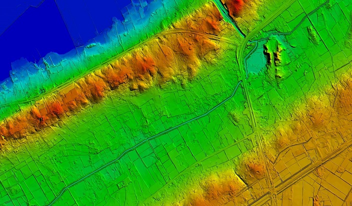
The foundation of contemporary GIS applications is 3D topographical surveys, which make it possible to produce specific and comprehensive maps of the Earth’s surface. These surveys use cutting-edge methods to record features’ vertical dimensions besides their horizontal placements, giving an all-encompassing picture of the landscape. The first step in the course is data acquisition, when comprehensive elevation data is accumulated using unmanned aerial vehicles (UAVs), LiDAR (Light Detection and Ranging), or high-resolution satellite photography. In particular, LiDAR generates accurate elevation models by measuring the distance between the sensor and the Earth’s surface through laser pulses.


