Medir Instruments Limited
The Marketplace Leaders In RS Mapping & GIS Products
Medir Instruments Limited prides itself on attention to detail and our ability to provide knowledge-driven and cost-saving solutions to support the most complex construction projects. Today, we are recognized as a regional leader in our industry for our strength in advanced surveying methods and supply of precise surveying tools.


About Medir Instruments Limited
Precise & Accurate Mapping To Create A Smarter Planet
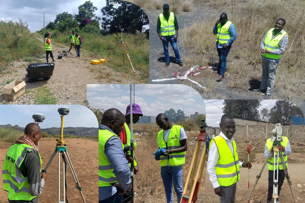
Generally speaking, Medir Instruments Limited was established in 2015 and comprises of professionally qualified and experienced geospatial engineers, surveyors, sales personnel, and administrative staff. We serve as a locally incorporated, wholly owned, and managed by indigenous Kenyans. For your information, our company was initially registered as Medir System Limited until it was brought to our attention on double-registration, hence Medir Instruments Limited. Today, we engage in sales of surveying and engineering equipment and accessories, servicing of such equipment, hiring of survey equipment, processing of survey works, navigation systems solutions, tracking systems, survey instruments training, and setting out of engineering works.
Medir Instruments Limited
A Partner Helping Transform Communities Across the Globe
We have a team of qualified and experienced staff to ensure accurate and precise surveys and engineering works. Bring your world into focus with on-demand access. Our custom products package subscription gives you on-demand access to the world’s most recent high-accuracy, high-resolution surveying and engineering instruments.
Empowering Partner
Discover how embracing digitalisation with technologies and processes can support your business to create new opportunities, stay competitive and improve productivity.
Growth Partner
Learn the skills to be more efficient and react to business opportunities. Unlock your potential to offer faster and more specialised services to your clients.
Consulting Partner
Regardless of how complex your task is, a solution is available within our diverse measuring, positioning and visualising portfolio to help you collaborate, be more efficient and succeed.
Helping Deliver Unlimited Survey & Mapping Solutions
At Medir Instruments Limited, our main objective is to provide equipment of high precision, accuracy, and quality to our customers, and also provide accurate surveys and engineering setting out. To achieve this, we test equipment and accessories before selling or hiring them to ensure quality equipment reaches clients. The company, over the years, has been involved in various activities such as:
- Sales of surveying equipment and accessories
- Leasing out and hiring of surveying instruments
- Calibration and surveying equipment maintenance
- Engineering survey and processing of surveying works
- Navigation systems and automated tracking systems
- Land mapping and surveying software integration
- Topographical utility and infrastructure mapping
- Engineering tools and data mapping accessories
- Planning geospatial survey and engineering works
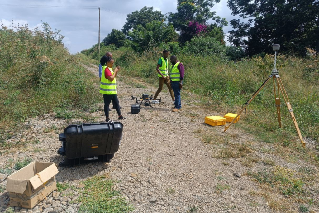
In addition, Medir Instruments Limited is also committed to the professional growth of its associates through a teaching and learning culture that educates and challenges them to be the very best in their fields of endeavor and to understand the dynamics of our marketplace and customer base.
Longfiber Internet & Network
Helping Deliver Reliable Business Workplace Connectivity
The need to maximize revenue and enhance customer experience is placing increasing pressure on communications service providers (CSPs), struggling to differentiate their offerings in a competitive marketplace. In addition, new technology trends like software-defined networking (SDN) and network functions virtualization (NFV) are changing the way networks are deployed and managed. That’s where our subsidiary company (Longfiber) comes in handy — to offer unlimited internet services and reliable network solutions.
Sustainable Surveying Instruments
The overall engagements of our company across varying industries have given our firm invaluable experience with the physical and contractual requirements, as well as the problems associated with the implementation of survey projects and the sale of survey equipment.
At Medir Instruments Limited, we provide everything you need to deliver accurate, reliable, and efficient surveying and engineering work. Whether you’re looking to buy, hire, service, or upgrade your equipment, our store offers a complete range of trusted instruments and accessories designed to elevate your performance in the field.
This is just the beginning...
Equip Your Project With Confidence
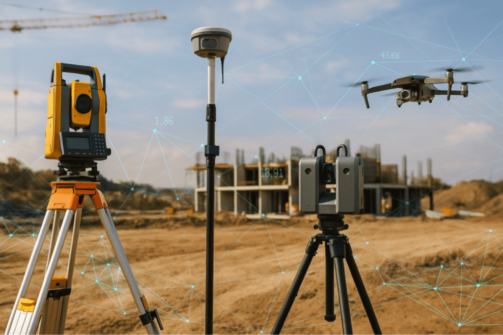
From Total Stations, GPS/GNSS receivers, Levels, and Laser tools, to navigation solutions, tracking systems, and professional training, we ensure you get equipment that works with precision, serves a clear purpose, and maximizes your productivity. Step into a store where quality meets expertise — and where every tool is backed by local support you can trust. Shop from our marketplace today and power your next project with the accuracy it deserves.

Meet Our Leadership Team
Design, development, and systems engineering expertise that helps to bring outstanding products to market.

Eng. Zacharia Karanja
Founder & CEO
Mr. Richard Muli
Operations Manager
Mr. Kabucha Morris
Company Secretary
Mr. Jessy Kaisha Ayanga
Land Surveyor
Mr. Asman Musa Kombo
Projects Surveyor
Mr. Joseph Mucira
Support Webmaster
Ms. JoyceMary Mukuhi
Marketing Manager
Mr. Joshua Fredrick Nzambuli
Construction Surveyor
Mr. Peter Waweru
Field Technician
Whar Our Clients Say
Featured Testimonials

Civil Engineer
Alice Howard
Medir Instruments Limited supplied us with a Total Station and GNSS kit that performed flawlessly throughout our project. Their team guided us from selection to setup, and the accuracy we achieved was outstanding. We completed our work faster and with fewer errors. I highly recommend their services.

Consultant Surveyor
Nathan Marshall
We regularly hire survey equipment from Medir Instruments, and they have never disappointed us. Their tools are always well-calibrated, clean, and ready for the field. The customer support is top-notch, and they respond quickly whenever we need guidance.

Certified Architect
Ema Romero
The training we received on GPS and Total Station operation was exceptional. The instructors were patient, knowledgeable, and very practical. Our team now works more confidently and efficiently in the field. Medir Instruments truly invests in their clients’ success.

Construction Manager
Ann Waruguru
From equipment servicing to data processing, Medir Instruments has been our go-to partner for years. Their commitment to quality and precision is unmatched. Every interaction has been professional, friendly, and reliable. They make our work so much easier.
Let's help you get started!
Consult Our Support Experts
Medir Instruments Limited has worked in Kenya since its registration and later incorporation as a limited company. Our company has successfully worked on and contracted projects for diverse clients. The company’s key staffs have local and international experience in surveying and survey instrument training.
Our firm has undertaken various survey works ranging from mutation survey, cadastral survey, and topographic survey to engineering survey. In sales of surveying accessories and equipment, Medir Instruments Limited has supplied equipment to various companies and individuals within the country.
Request A Quote
Ready to work together? Build a project with us!
