Commissioning a Land Surveying Plan is a vital start to a broad spectrum of projects – and it needs to be conducted quickly, accurately, and to deliver as much data as possible to inform the next step. At Medir Instruments Limited, we have extensive experience of carrying out geomatic surveys across a range of sectors and for all sizes of projects. Harnessing the latest survey technology means we can deliver data quickly, in detail, and in different formats.
With our ‘toolbox’ approach, we will advise on the most effective way to achieve your objectives, assessing all relevant factors before starting work. Our team will then conduct the survey, capturing accurate and detailed data delivered in the optimum format for your project – and providing you with the highest quality output for which we have become known in the industry.
Our Key Land Surveying Service Solutions
Land Surveying is the science and profession of determining the location of points, distances, and angles on the Earth’s surface to establish property lines, create maps, and guide construction and development projects. Land surveyors use specialized equipment to measure and analyze land, providing accurate spatial data for legal transactions like property sales, engineering projects, and land administration.
What Land Surveying Involves:
- Measuring and mapping: Surveyors collect data on the size, shape, and features of a piece of land, including horizontal distances, directions, and elevations.
- Establishing boundaries: A key function is legally defining property lines, often for real estate transactions or disputes.
- Creating maps and plans: The collected data is used to produce survey maps and plans that are essential for planning and execution of projects.
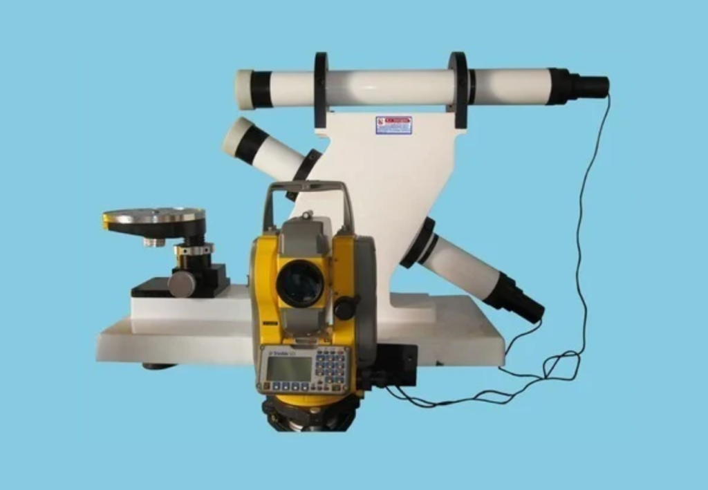
- Using technology: Modern land surveying uses advanced tools like drones, GPS, and LiDAR, as well as traditional instruments, to gather and process data with high accuracy.
Land Surveying Types:
- Topographic Survey: Measures the vertical elevations of the land and the location of man-made structures, which is critical for construction and infrastructure projects.
- Cadastral Survey: Focuses on legal boundaries of properties and is used for property sales, tax laws, and resolving disputes.
- Construction Survey: Ensures that construction is built according to the plans, verifying locations for structures, roadways, and other components.
- Geodetic Survey: A highly accurate, large-scale survey that takes into account the Earth’s curvature, often used as a reference for other surveys.
With that in mind, below are the topmost featured Land Surveying service solutions that Medir Instruments Limited helps deliver to its target customers and potential clients.
Topographic Survey
A Topographic Survey is usually the foundation for underground investigations and utility surveys and is used in conjunction with the start of the construction phase of the project or with measured building surveys. We can also provide survey data for much smaller projects, such as garden adaptations and extensions. We welcome enquiries for home projects to industry needs: For us, no survey is too big or too small.
Note that the Topographic Land Surveying cost scales depending on the complexity, and we will be happy to offer our advice of the most cost-effective options. Our specialist surveyor teams carry out a variety of terrain surveys across a broad range of project sectors. Our experience encompasses large-scale land surveys for major infrastructure projects, housebuilding developments, and we have even completed a project where we surveyed half of an existing town to support a local council planning application!
Get an accurate and detailed representation of your site layout, including all physical hard and soft features above ground. These features can include, but are not limited to, roads, street furniture, buildings, tree locations, and boundary demarcations such as fences and walls. Our teams have extensive experience with highly specialised survey equipment, including drones. They will measure the height and position of natural and man-made topographic features of a site. Using skills in the latest technology post-survey, the team can provide the results of the survey in 2D and 3D formats as standard. Our client feedback confirms that the level of detail we provide always exceeds expectations.
LiDAR Survey
For a LiDAR (Aerial) Survey, a laser-based LiDAR scanner is mounted on a drone, which sends out rapid light pulses from a near-infrared laser to collect measurements. This data creates a point cloud that is transformed into a highly precise 3D model of the terrain and its features, offering a competitive edge where accuracy is crucial. LiDAR can gather a million data points per second, making it one of the fastest surveying methods available. This capability allows for the quick production of highly detailed maps of entire cities or large areas of land in a minimal timeframe.
At Medir Instruments Limited, we offer a drone LiDAR Survey to create detailed maps of ground profiles for planning and hazard assessments. Also known as Light Detection and Ranging, this non-invasive method delivers precise accuracy and is one of the fastest surveying techniques available. Drone LiDAR surveys are particularly beneficial for managing risks, overseeing land and agricultural projects, forestry, and mapping watersheds and rivers. Because it’s remotely operated, LiDAR for surveying excels in areas that are difficult or dangerous to access by foot.
Eventually, this is a more sustainable technology, enabling surveys to be conducted in environmentally sensitive areas without the negative impacts associated with traditional methods, ultimately reducing a project’s carbon footprint. Our highly experienced team will assist you in integrating a LiDAR survey into your overall project planning, providing clear timelines and expected results.
Mobile Mapping
For projects where a vast amount of detailed Geo-Spatial data needs to be collected quickly over a long distance, Mobile mapping is often an ideal solution. This method is particularly suitable for road, highway, and infrastructure projects. Mobile Mapping is the the use of a mobile vehicle equipped with a 3D laser scanner, capable of capturing thousands of data points per second and can cover up to 20km in one day.
Each survey can provide various data formats and survey information, ranging from basic 2D site layouts and plans to more detailed outputs, including point clouds and fly-through animations. Additionally, we can use this data to create Revit models, and our experienced team will be happy to advise where needed.
In most cases, Mobile Mapping typically requires two surveyors on site. Initially, all equipment is checked and activated in areas with optimal maximum GPS coverage, and the route is driven at normal traffic speeds to create a survey route plan. They begin with continuous monitoring of positional quality to ensure high accuracy. The data collected includes laser information and imagery, and to achieve the best accuracy, ground control points (GCPs) are installed at regular intervals within the survey area. The coordinates of these points enhance the precision of the point cloud during processing.
When the survey is completed, the Geo-Spatial data is processed to generate the most accurate trajectory possible and to facilitate the creation of the point cloud aligned with the GCPs. The point cloud is then cleaned and colorized, ready to be utilised for your project’s requirements.