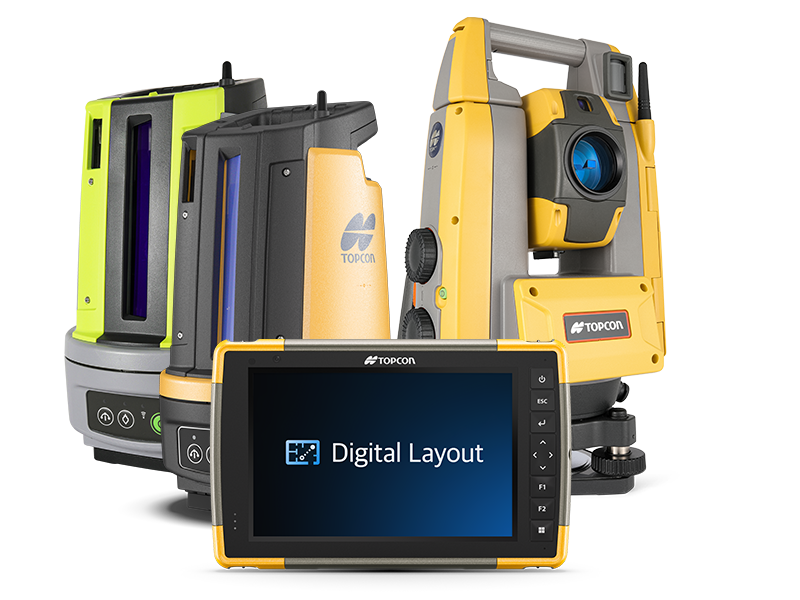
Controllers & GIS Kits
High-performance field controllers, rugged GIS data collection platforms, and integrated software toolkits designed for smooth attribute logging and instrument management.
Data Collection
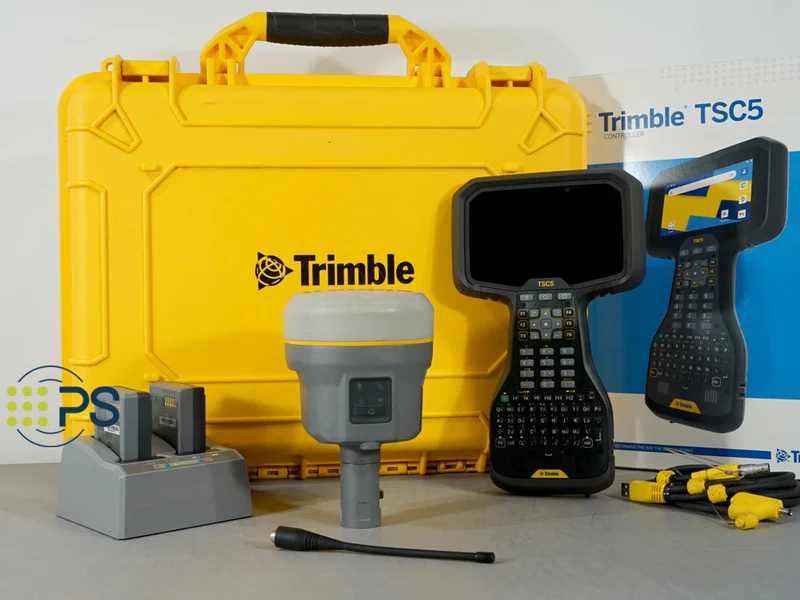
Rugged GNSS Field Controller
Industrial Android tablet computer optimized for handling heavy mapping software, CAD models, and continuous field surveying data logs.
- Full alphanumeric backlit field keyboard
- Gorilla Glass sunlight-readable touch display
- Integrated LTE cellular, Wi-Fi, and long-range Bluetooth
- IP68 protection rating with dropproof drop framework
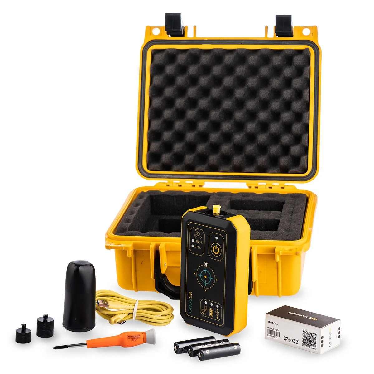
Asset Mapping
High-Accuracy Handheld GIS Kit
All-in-one handheld asset charting mapping units combining sub-meter or centimeter RTK engines with attribute mapping software pipelines.
- Internal multi-constellation L1/L2 tracking array
- Real-time data sync with leading ESRI/GIS infrastructure
- High-resolution camera for site asset image metadata
- All-day high-capacity hot-swappable battery modules
Turnkey Solutions
Complete GIS Rover Bundle
A turnkey mobile asset collection bundle combining a rugged data collector, lightweight pole mounts, and cloud survey subscriptions.
- Pre-loaded premium survey field controller apps
- Carbon fiber assembly rod and bracket adapters included
- Direct connection optimization for NTRIP/CORS streams
- Heavy-duty protective transport field backpack case