GPS & GNSS Systems
Multi-constellation RTK receivers and high-accuracy geospatial positioning solutions designed for demanding surveying tasks.
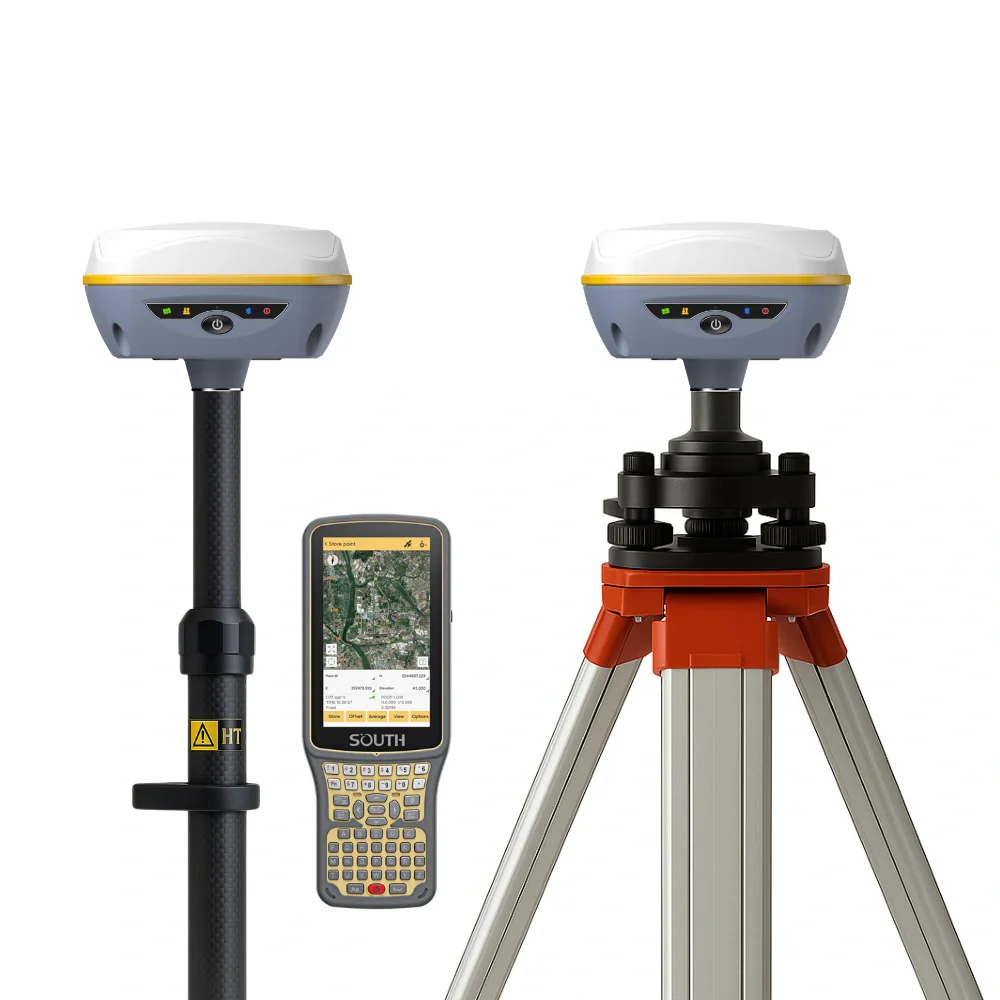
RTK Network
Multi-Constellation RTK Base & Rover
Complete land surveying setup providing millimeter-level positioning with instant initialization capabilities.
- 1408 channels with tilt IMU tracking
- GPS, GLONASS, Galileo, BeiDou
- Rugged IP68 water & dust rating
- Long-range internal UHF radio link
Handheld
Rugged GIS Field Data Collector
High-performance controller optimized for real-time attribute collection and cloud-synced surveying mappings.
- Sunlight-readable touchscreen display
- Integrated high-accuracy GNSS engine
- Android OS with major field app support
- All-day hot-swappable battery life
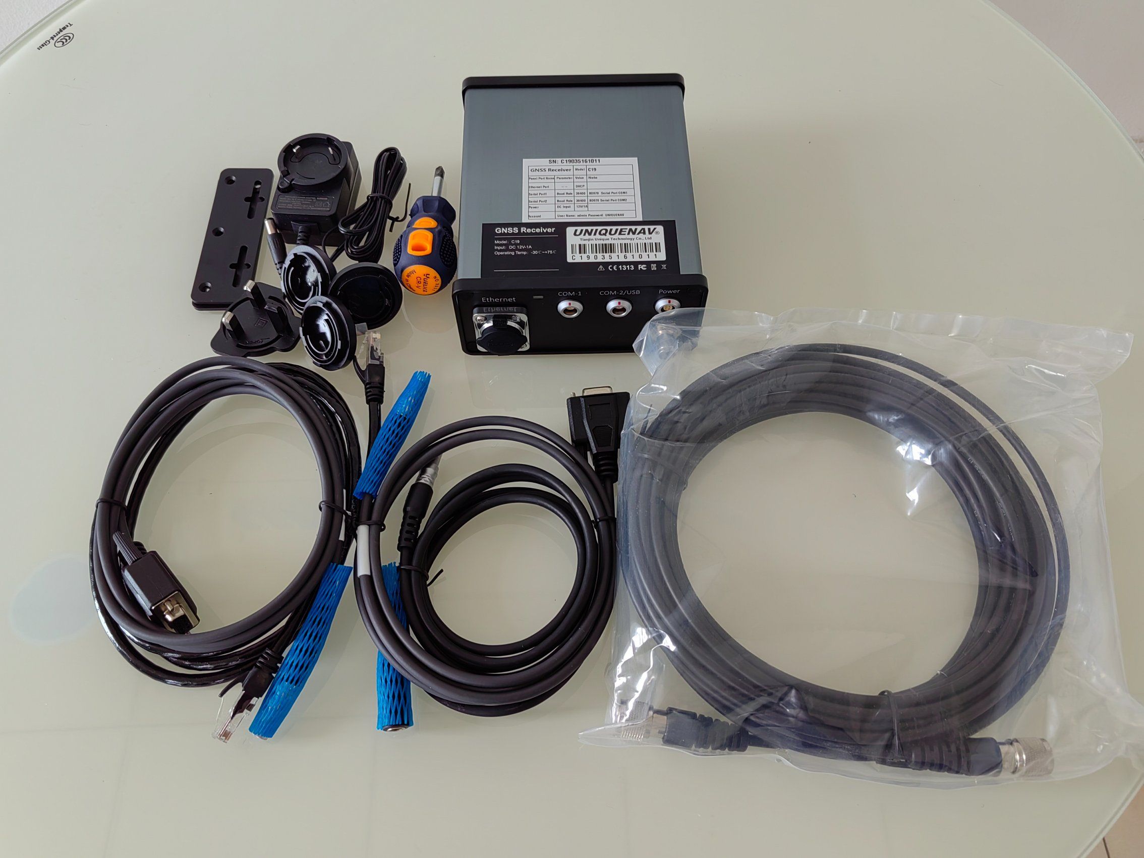
CORS Base
Geodetic CORS Reference Receiver
Continuous operation baseline tracking station designed for high-availability regional infrastructure networks.
- Advanced multipath mitigation engine
- Web-based interface for remote admin
- Ethernet, cellular & serial ports
- Large internal backup data storage