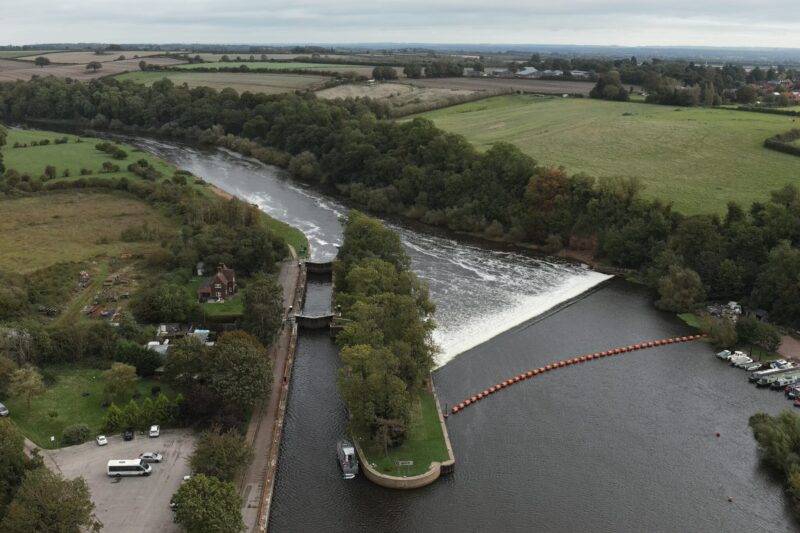
As an extension of the Land Surveying Services, Hydrographic Surveying is sometimes known as Bathymetric Surveying. Usually, a hydrographic survey provides an accurate and detailed plan of all features below the water’s surface. This type of survey is suitable for lakes, rivers, harbours, broads, reservoirs, and water treatment plants up to a depth of ten metres.
In other words, Hydrographic Surveying is a methodological process that is often used to calculate the depth of the water body and measure the ground below the water. This data is translated into a Digital Terrain Model (DTM), detailing the contours of the land below the water. Sometimes called a bathymetric survey, it’s used before proceeding with dredging, building a new bridge, or directional drilling to put in place new services.
The Main Hydrographic Surveying Process
As mentioned, a hydrographic survey is the measurement and description of the physical features of bodies of water like oceans, rivers, and lakes. It maps underwater features such as water depth, seabed shape, and coastlines, using technology like sonar and GPS to aid in safe navigation, marine construction, and offshore activities. The data collected is used to create nautical charts and support projects like dredging, offshore drilling, and coastal management.
This type of survey has clear safety advantages and efficiency benefits. It can be completed as a stand-alone project or as an extension to a topographical project, allowing all information above and below the water to be integrated into one study. Hydrographic survey data is available in multiple of formats as needed. This type of survey is useful for space calculation, for example, relocating silt into an on-site lake.
Purpose And Applications:
- Safe Navigation: Creating accurate nautical charts is a primary application, allowing ships to navigate safely.
- Marine Construction: Surveys are used for planning and executing construction projects underwater, such as ports, bridges, and offshore wind farms.
- Resource Management: Hydrographic data is essential for activities like offshore oil and gas exploration and the management of marine resources.
- Dredging Processes: Surveys help in measuring and monitoring the depths of channels and harbors for maintenance and improvement.
- Environmental Protection: Data from surveys can be used for scientific research and to monitor the environment.
Some Key Technologies:
- Acoustic Sensors: They detect sound waves or vibrations, converting them into electrical signals for analysis.
- Multibeam Sonar: Provides a detailed, wide-angle view of the seabed.
- Side Scan Sonar: Creates an image of the seafloor’s texture and identifies objects.
- Echo Sounders: Traditional sonar systems that measure depth by emitting sound waves and timing their return.
- Positioning Systems: For precise Earth-based location, velocity, and timing (PNT) data for navigation, mapping, and countless other applications.
- Global Navigation Satellite System (GNSS): Used to get precise locations of the survey vessel.
- Inertial Navigation Systems: Helps with vessel orientation and alignment, especially in rough seas.
Other Notable Technologies:
- Lidar Bathymetry: Uses light to measure water depth in clear, shallow water.
- Unmanned Surface Vehicles (USVs): Used for surveys in areas that are too shallow or difficult for traditional boats.
The Hydrographic Surveying Method employs a lightweight, remote-controlled surveying boat fitted with GPS and echo sounders. Points are recorded at set distances, and this survey type is suitable for water environments up to ten metres deep. In areas without stable GPS, a robotic total station and 360° prism are used to provide the survey data. It’s worth noting that the surveyors from Medir Instruments Limited undertaking the survey are Rescue 3 qualified.