
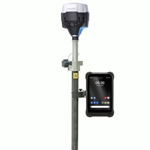
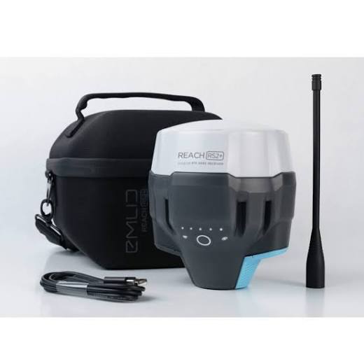
RTK GNSS (Emlid Reach RS2) Set
KSh 900,000.00
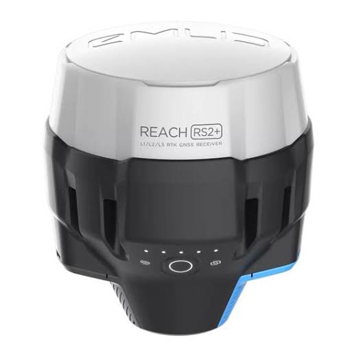
The Emlid Reach RS2 is a multi-band RTK GNSS receiver delivering centimeter-level accuracy for surveying, mapping, and data collection. Engineered as an all-in-one land surveying tool, it functions seamlessly as a base station or an RTK rover. It achieves a fast fixed solution within seconds, even under challenging conditions.
Product Highlights:
- Centimeter Accuracy: Delivers precise real-time positioning up to 60 km in RTK mode.
- Multi-Band Tracking: Tracks GPS/QZSS, GLONASS, BeiDou, and Galileo concurrently.
- Built-in Cellular Modem: Features a global 3G/4G modem for uninterrupted NTRIP corrections.
- Long Battery Life: Provides up to 22 hours of continuous autonomous logging on one charge.
- Rugged Engineering: IP67 waterproof and shockproof construction built for extreme fieldwork.
Description
The Emlid Reach RS2 is a multi-band RTK GNSS receiver delivering centimeter-level accuracy for surveying, mapping, and data collection. Engineered as an all-in-one land surveying tool, it functions seamlessly as a base station or an RTK rover. It achieves a fast fixed solution within seconds even under challenging conditions.
The Emlid Reach RS2 is a professional-grade RTK GPS set designed to optimize accuracy and speed in geographic data collection. By processing signals across multiple frequency bands, this receiver establishes a stable “FIX” status in under 10 seconds. It maintains peak performance over baselines extending up to 60 km in RTK and 100 km in PPK modes.
Seamless Base & Rover Configuration
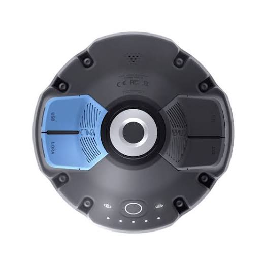
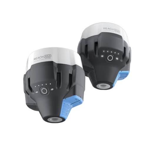
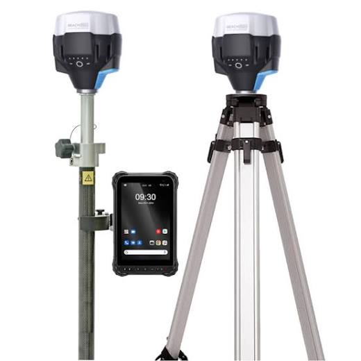
This versatile kit operates in any survey framework. Configure a pair of receivers as a local Reach RS2 Base and Rover Set via the internal LoRa radio link. Alternatively, deploy a single unit as a rover utilizing network corrections via cellular NTRIP connectivity.
Designed For Demanding Field Conditions:
- Industrial Durability: Polycarbonate impact-resistant body protects internal components during accidental drops.
- Smart App Control: Control setups, collect points, and export DXF/CSV files using the free Emlid Flow app.
- Universal Compatibility: Works with popular GIS, photogrammetry, and drone mapping software suites via NMEA output.
Technical Specifications:
| Feature | Specification |
|---|---|
| Positioning Accuracy | Static: H: 4mm + 0.5ppm / RTK: H: 7mm + 1ppm |
| Signal Tracking | GPS, GLONASS, BeiDou, Galileo, QZSS |
| Convergence Time | Typically < 10 seconds |
| Connectivity | LoRa Radio, 3G/4G Modem, Wi-Fi, Bluetooth |
| Internal Storage | 16 GB for raw data logs (PPK data) |
| Enclosure Rating | IP67 dustproof and waterproof (up to 1m depth) |
| Operating Temp | -20°C to +65°C |
You must be logged in to post a review.


Reviews
There are no reviews yet.