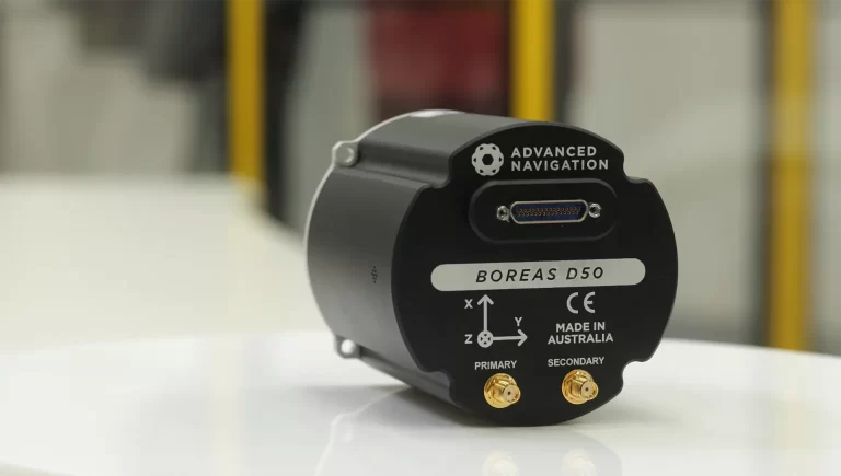
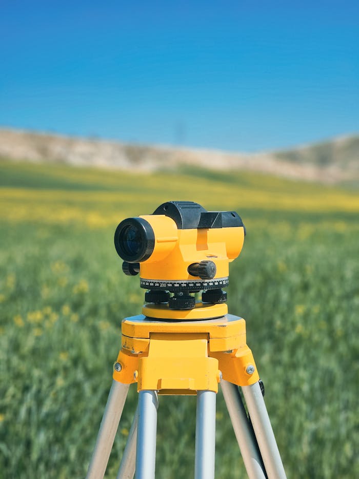
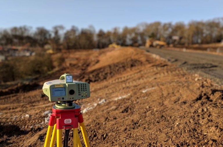
Drone Surveying
Drone Surveying uses Unmanned Aerial Vehicles (UAVs) with sensors, cameras, and GPS to capture high-resolution imagery and spatial data, creating precise 2D maps, 3D models, and digital terrain models (DTMs) efficiently and safely.
An Underground Surveying process is integral to the realm of construction and urban planning. It involves the detailed examination of the subsurface to identify types and locations of utilities and structures.
Land Surveying is the science and profession of determining the location of points, distances, and angles on the Earth’s surface to establish property lines, create maps, and guide construction and development projects.
In this article, you will explore our advanced technology solutions for underground utility detection, 3D mapping, and surveying. Our integrated
Automatic Aerial Triangulation is a photogrammetric process that uses overlapping aerial photographs to determine the X, Y, and Z ground coordinates of points, crucial for creating accurate maps and 3D models. The primary goal of Automatic Aerial Triangulation is to establish a precise spatial framework for a set of aerial images, enabling the creation of accurate maps, digital elevation models (DEMs), and other photogrammetric products.
Construction is a dynamic and ever-evolving industry driven by technological advancements and innovative practices. Photogrammetry is one such innovation that has significantly impacted the construction sector. This is a technique that uses photographs to create accurate 3D models and measurements and has found numerous applications in the construction industry.
Utilize our Customer Relationship Management System guide to surface the information needed for better customer conversations. Think about how convenient it would be to consolidate data. Consider all the data streams from sales teams, customer service staff, marketers, and social media — translate them into actionable business information.
Manned Aerial Surveillance Drones and Aircraft will allow the real-time monitoring of entire urban populations. Advances in camera technology and biometric recognition are now used by law enforcement to follow individuals across cities and in crowds. Corporate aerial surveillance is a growing field and a growing privacy threat. EPIC opposes the use of mass surveying.
Given the ever-evolving digital online marketplace, it’s worth mentioning that Cloud Computing Technology is an on-demand service that has obtained
As a rule of thumb, IT Risk Management is crucial to any organization’s operations. It involves identifying, assessing, and managing