Equipment | Featured | Instruments | Inventory | Marketplace | Products | Reviews | Toolkits
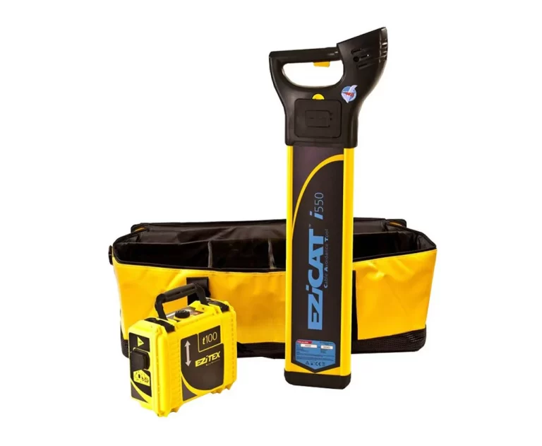
Order GeoMax EziCAT i550 Underground Handheld Cable Detector
The GeoMax EziCAT i550 is a Cable Avoidance Tool (CAT) used in construction and utility work to detect underground cables and pipes before digging. It helps prevent damage to buried services and ensures safety on-site by locating buried utilities accurately.